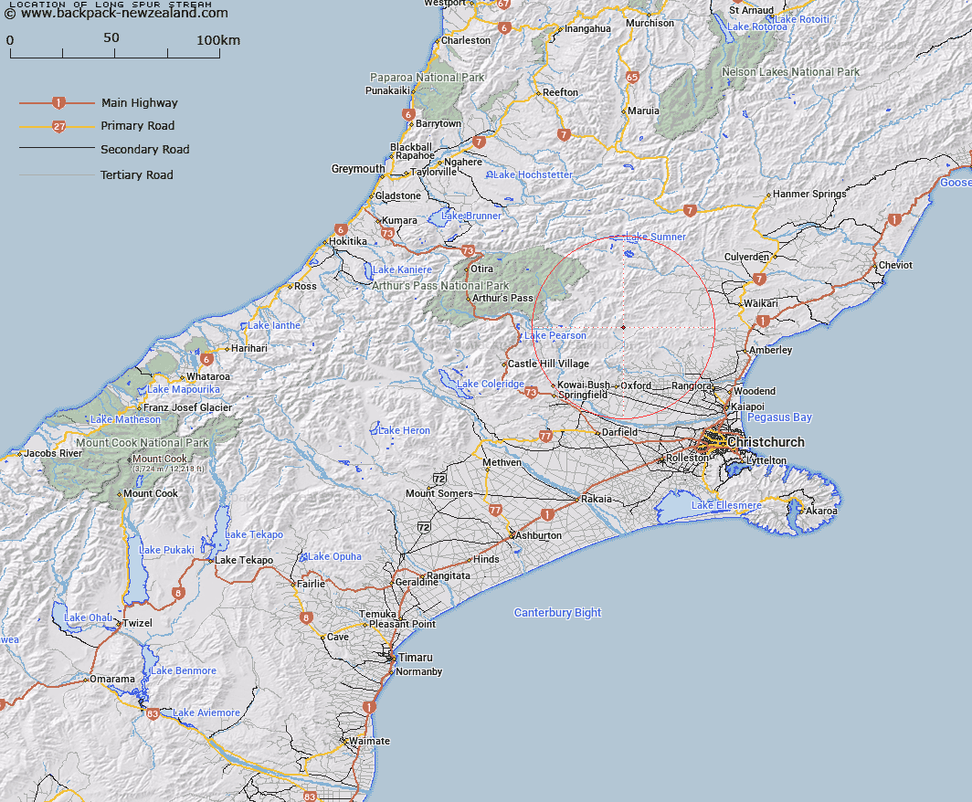
Map showing location of Long Spur Stream


LINZ description: Right bank tributary of Pancake Stream rising South of Pancake Hill [Trig. W (Geodetic Code A9U3)], flowing eastward and joining Pancake Stream 3.1km East by South-east of Pancake Hill. Block IV, Upper Ashley Survey District.
Latitude: -43.060244
Longitude: 172.219981
Northing: 5232200
Easting: 1536483.9
Land District: Canterbury
Feat Type: Stream


Scroll down to see a more detailed road map and below that a topographical map showing the location of Long Spur Stream. The road map has been supplied by openstreetmap and the topographical map of Long Spur Stream has been supplied by Land Information New Zealand (LINZ).

Yes you can use the top static map for you school/university project or personal website with a link back. Contact me for any commercial use.

Long Spur Stream Map New Zealand


New Zealand places in our database
[ A ] [ B ] [ C ] [ D ] [ E ] [ F ] [ G ] [ H ] [ I ] [ J ] [ K ] [ L ] [ M ] [ N ] [ O ] [ P ] [ Q ] [ R ] [ S ] [ T ] [ U ] [ V ] [ W ] [ X ] [ Y ] [ Z ]


Closest 20 Streams to Long Spur Stream

Pancake Stream ( 1.27km )   Firewood Stream ( 4.16km )   Duck Creek ( 4.39km )   Punanui Stream ( 5.02km )   Youngman Stream ( 6.02km )   Ensor Stream ( 6.28km )   Fraser Stream ( 6.44km )   Boundary Stream ( 6.52km )   Duncan Stream ( 6.91km )   Laurie Stream ( 7.43km )   Lilburne River ( 7.47km )   Lillburn River ( 7.47km )   Broom Stream ( 8.05km )   Kingsdown Stream ( 8.35km )   Stockyard Stream ( 8.4km )   Ribbonwood Stream ( 8.48km )   Okuku Downs Stream ( 8.63km )   Retreat Stream ( 8.7km )   Den Stream ( 8.77km )   Okuku River South Branch ( 8.89km )   Okuku River ( 9.12km )   Pember Stream ( 9.16km )   Garry River ( 9.93km )   Panhandle Stream ( 10.08km )   Cattlepeak Stream ( 10.67km )   Pioneer Stream ( 10.82km )   Wharfedale Stream ( 11.07km )   Snowdale Stream ( 11.25km )   Dorman Stream ( 11.52km )   Cunningham Stream ( 11.69km )   Tapley Stream ( 11.9km )   Blowhard Stream ( 11.96km )   Pinchgut Stream ( 12.37km )   Cascade Stream ( 12.44km )   Whistler River ( 12.52km )   Dog Leg Stream ( 13.05km )   Pig Spur Stream ( 13.21km )   Hungerford Stream ( 13.47km )   Five Gully Stream ( 13.48km )   Whare Stream ( 13.61km )