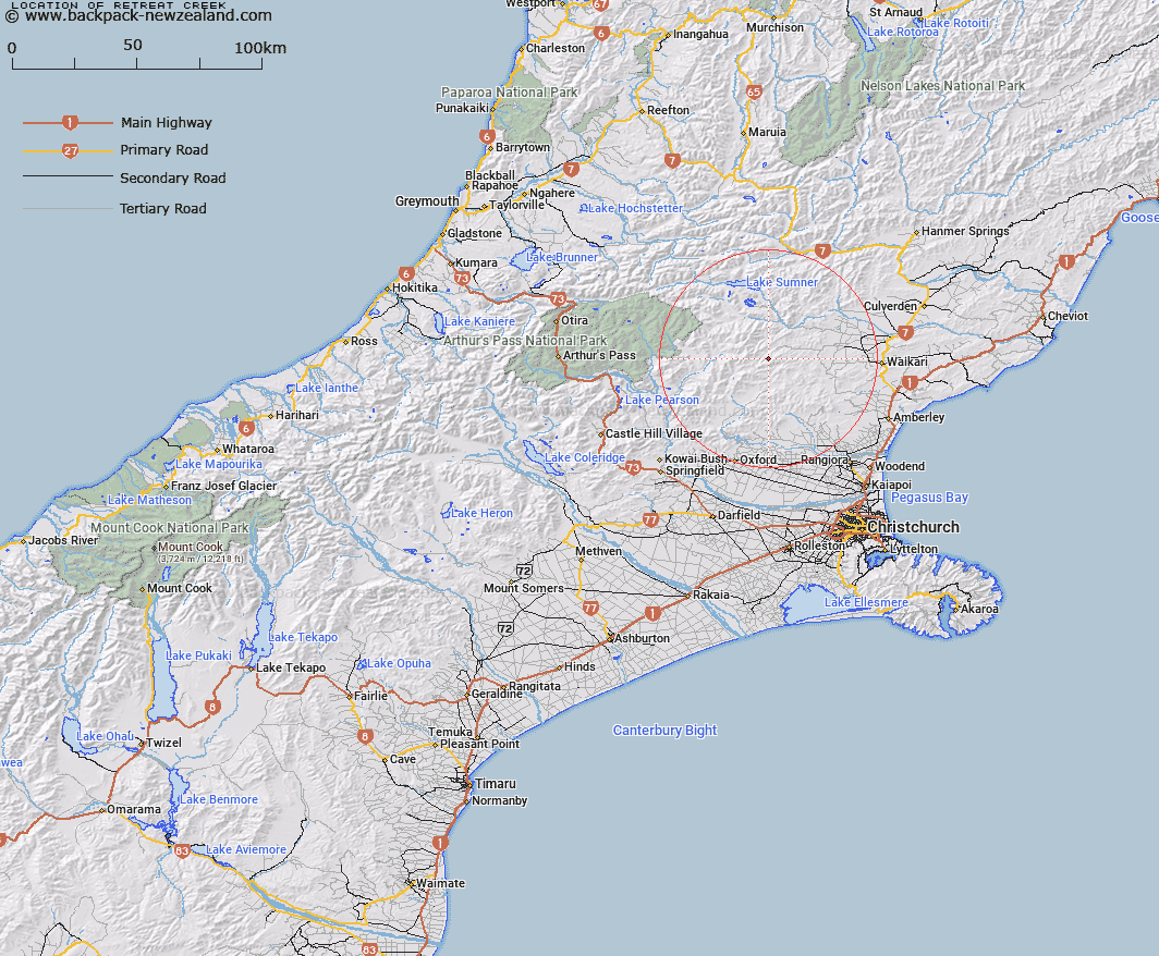
Map showing location of Retreat Creek


LINZ description: Stream flowing north-west from Block Hill Trig. (Geodetic Code A9E4) into Waitohi River, 1.8km above Whistling Creek. Okuku Survey District.
Latitude: -42.953625
Longitude: 172.308722
Northing: 5244103.3
Easting: 1543612.6
Land District: Canterbury
Feat Type: Stream


Scroll down to see a more detailed road map and below that a topographical map showing the location of Retreat Creek. The road map has been supplied by openstreetmap and the topographical map of Retreat Creek has been supplied by Land Information New Zealand (LINZ).

Yes you can use the top static map for you school/university project or personal website with a link back. Contact me for any commercial use.

Retreat Creek Map New Zealand


New Zealand places in our database
[ A ] [ B ] [ C ] [ D ] [ E ] [ F ] [ G ] [ H ] [ I ] [ J ] [ K ] [ L ] [ M ] [ N ] [ O ] [ P ] [ Q ] [ R ] [ S ] [ T ] [ U ] [ V ] [ W ] [ X ] [ Y ] [ Z ]


Closest 20 Streams to Retreat Creek

Whistling Creek ( 1.72km )   Whitnow Stream ( 4.75km )   Okuku River ( 4.79km )   Deadwood Stream ( 5km )   Panhandle Stream ( 5.16km )   Bridge Creek ( 5.23km )   Den Stream ( 5.44km )   Hut Branch ( 5.68km )   Stockyard Stream ( 5.79km )   Leaseman Stream ( 6.59km )   Seaward River ( 7.22km )   Waterfall Stream ( 7.28km )   Ensor Stream ( 7.6km )   Virginia Stream ( 7.67km )   Fraser Stream ( 7.67km )   Punanui Stream ( 8.89km )   Clay Spur Stream ( 8.91km )   Duncan Stream ( 8.96km )   Trumper Stream ( 9.56km )   Dust Stream ( 9.65km )   Grant Stream ( 9.96km )   Waipapa River North Branch ( 10.04km )   Little Bush Stream ( 10.05km )   Chinsurah Stream ( 10.08km )   Swampy Creek ( 10.86km )   Big Bush Stream ( 10.94km )   Laurie Stream ( 11.22km )   Double End Stream ( 11.52km )   Okuku Downs Stream ( 11.62km )   Bridge Stream ( 11.67km )   Tommys Stream ( 11.78km )   Woolshed Stream ( 12.11km )   Firewood Stream ( 12.27km )   Manilla Stream ( 12.66km )   Melrose Stream ( 12.71km )   Teardrop Stream ( 12.9km )   Horseshoe Stream ( 13.08km )   Woodchopper Stream ( 13.12km )   Pancake Stream ( 13.19km )   Cabin Stream ( 13.2km )