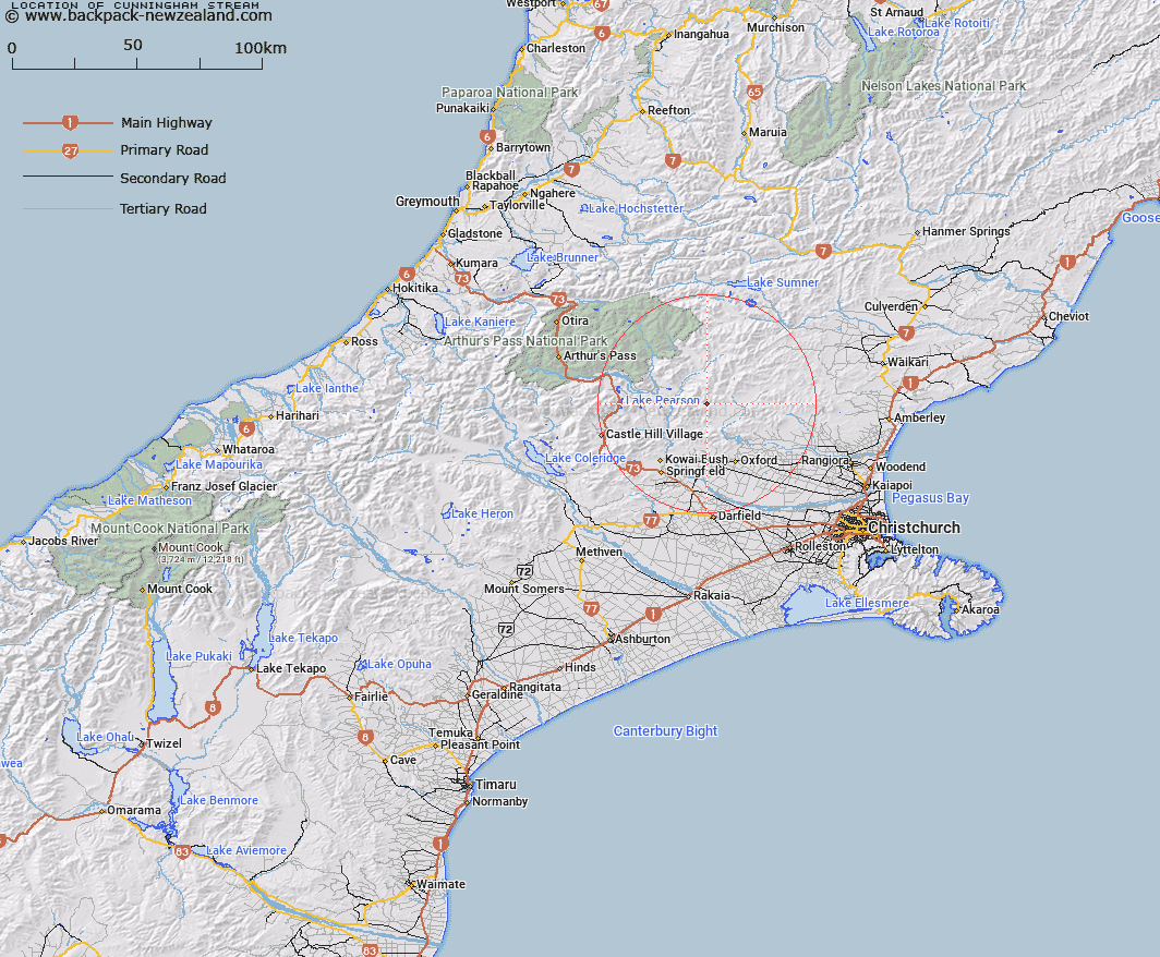
Map showing location of Cunningham Stream


LINZ description: Left bank tributary of the Whistler River approxinmately 3.5km long, flowing southward and joining the Whistler River 1.75km downstream of Mannering Stream. Block VI Upper Ashley Survey District.
Latitude: -43.105024
Longitude: 172.08981
Northing: 5227120.3
Easting: 1525938.2
Land District: Canterbury
Feat Type: Stream


Scroll down to see a more detailed road map and below that a topographical map showing the location of Cunningham Stream. The road map has been supplied by openstreetmap and the topographical map of Cunningham Stream has been supplied by Land Information New Zealand (LINZ).

Yes you can use the top static map for you school/university project or personal website with a link back. Contact me for any commercial use.

Cunningham Stream Map New Zealand


New Zealand places in our database
[ A ] [ B ] [ C ] [ D ] [ E ] [ F ] [ G ] [ H ] [ I ] [ J ] [ K ] [ L ] [ M ] [ N ] [ O ] [ P ] [ Q ] [ R ] [ S ] [ T ] [ U ] [ V ] [ W ] [ X ] [ Y ] [ Z ]


Closest 20 Streams to Cunningham Stream

Whistler River ( 2.86km )   Chest Peak Stream ( 2.94km )   Mannering Stream ( 2.98km )   Snowdale Stream ( 4.27km )   Pember Stream ( 5.2km )   Boundary Stream ( 5.23km )   Newton Stream ( 6.7km )   Milton Stream ( 6.8km )   Kingsdown Stream ( 6.88km )   Five Gully Stream ( 7.14km )   Millton Stream ( 7.16km )   Shifton Stream ( 7.34km )   Broom Stream ( 7.42km )   Salmon Creek ( 7.45km )   Storm Stream ( 7.99km )   Townshend River ( 9.62km )   Lilburne River ( 9.67km )   Lillburn River ( 9.67km )   Brechin Burn ( 9.75km )   Harman Stream ( 9.92km )   Hungerford Stream ( 9.93km )   Sailor Stream ( 10.54km )   Dog Leg Stream ( 10.75km )   Youngman Stream ( 11.04km )   Moody Stream ( 11.11km )   Cascade Stream ( 11.22km )   Dorman Stream ( 11.31km )   Wharfedale Stream ( 11.55km )   Long Spur Stream ( 11.69km )   Keats Stream ( 11.7km )   Ribbonwood Stream ( 11.74km )   Dobson Stream ( 12.38km )   Letitia Stream ( 12.83km )   Pancake Stream ( 12.88km )   Duck Creek ( 13.01km )   Oxford Creek ( 13.57km )   Garry River ( 13.77km )   Baldy Stream ( 13.78km )   Broadleaf Stream ( 13.87km )   Ladbrook Stream ( 14.06km )