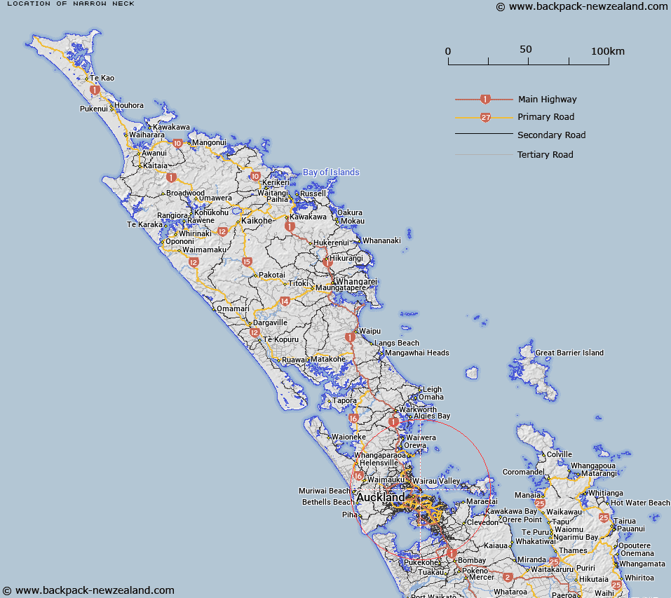
Map showing location of Narrow Neck
LINZ description: North Shore City suburb, a narrow strip of land on the Hauraki Gulf coast between Belmont and Devonport.
Latitude: -36.81535
Longitude: 174.799671
Northing: 5924100.1
Easting: 1760521.6
Land District: North Auckland
Feat Type: Suburb
Latitude: -36.81535
Longitude: 174.799671
Northing: 5924100.1
Easting: 1760521.6
Land District: North Auckland
Feat Type: Suburb

Scroll down to see a more detailed road map and below that a topographical map showing the location of Narrow Neck. The road map has been supplied by openstreetmap and the topographical map of Narrow Neck has been supplied by Land Information New Zealand (LINZ).
Yes you can use the top static map for you school/university project or personal website with a link back. Contact me for any commercial use.
[ A ] [ B ] [ C ] [ D ] [ E ] [ F ] [ G ] [ H ] [ I ] [ J ] [ K ] [ L ] [ M ] [ N ] [ O ] [ P ] [ Q ] [ R ] [ S ] [ T ] [ U ] [ V ] [ W ] [ X ] [ Y ] [ Z ]