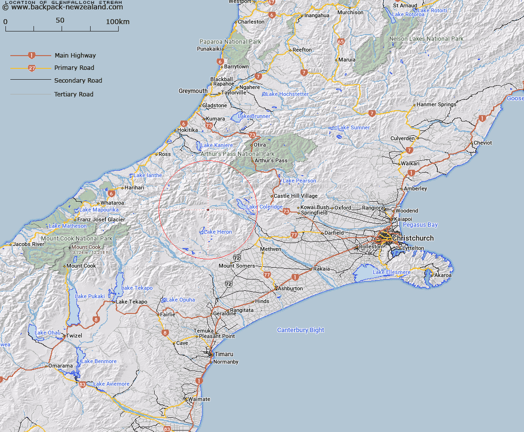
Map showing location of Glenfalloch Stream


LINZ description: Right bank tributary of Rakaia River rising in the Palmer Range 2km North-west of Smite Peak, flowing northward and joining Rakaia River North-east of Glenfalloch Homestead. Block XII, Whitcombe Survey District.
Latitude: -43.312753
Longitude: 171.219553
Northing: 5202914.4
Easting: 1455615.5
Land District: Canterbury
Feat Type: Stream


Scroll down to see a more detailed road map and below that a topographical map showing the location of Glenfalloch Stream. The road map has been supplied by openstreetmap and the topographical map of Glenfalloch Stream has been supplied by Land Information New Zealand (LINZ).

Yes you can use the top static map for you school/university project or personal website with a link back. Contact me for any commercial use.

Glenfalloch Stream Map New Zealand


New Zealand places in our database
[ A ] [ B ] [ C ] [ D ] [ E ] [ F ] [ G ] [ H ] [ I ] [ J ] [ K ] [ L ] [ M ] [ N ] [ O ] [ P ] [ Q ] [ R ] [ S ] [ T ] [ U ] [ V ] [ W ] [ X ] [ Y ] [ Z ]


Closest 20 Streams to Glenfalloch Stream

Shingly Creek ( 1.06km )   Station Creek ( 3.55km )   Big Fan Creek ( 5.1km )   Broad Creek ( 5.82km )   Leach Stream ( 6.19km )   Colonel Stream ( 7.22km )   Twin Creek ( 7.57km )   Charlie Stream ( 7.68km )   Double Hill Stream ( 7.79km )   Nell Stream ( 7.83km )   Big Paddock Creek ( 7.87km )   Rocky Spur Creek ( 8.59km )   Glenariffe Stream ( 8.72km )   Lake Stream ( 9.03km )   Ribbonwood Stream ( 9.21km )   Jellicoe Stream ( 9.35km )   Gerard Stream ( 9.76km )   Mathias River ( 10.02km )   Godley Stream ( 10.02km )   Titan Stream ( 10.02km )   Bush Creek ( 10.39km )   Smite River ( 10.89km )   Washbourne Creek ( 11.41km )   Petticoat Lane ( 11.59km )   Hut Stream ( 11.77km )   Lawsley Stream ( 12.44km )   Glenrock Stream ( 12.46km )   Chimera Stream ( 12.83km )   Gorgon Stream ( 13.15km )   Mistake Creek ( 13.98km )   Jerusalem Stream ( 14.16km )   Totara Stream ( 14.26km )   Ensor Stream ( 14.75km )   Home Creek ( 14.81km )   Round Hill Creek ( 14.97km )   Jagged Stream ( 14.98km )   Turtons Stream ( 14.98km )   Polhill Stream ( 15.2km )   Boulderstone Stream ( 15.76km )   Strone Stream ( 15.85km )