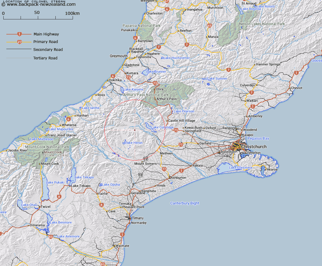
Map showing location of Colonel Stream


LINZ description: Right bank tributary of Glenariffe Stream rising 2.2km North by North-east of Godley Peak, flowing northward and joining Glenariffe Stream 1.7km South of Double Hill [Trig. D (Geodetic Code 5512)]. Block V, Glenrock Survey District.
Latitude: -43.323442
Longitude: 171.30764
Northing: 5201875.9
Easting: 1462783
Land District: Canterbury
Feat Type: Stream


Scroll down to see a more detailed road map and below that a topographical map showing the location of Colonel Stream. The road map has been supplied by openstreetmap and the topographical map of Colonel Stream has been supplied by Land Information New Zealand (LINZ).

Yes you can use the top static map for you school/university project or personal website with a link back. Contact me for any commercial use.

Colonel Stream Map New Zealand


New Zealand places in our database
[ A ] [ B ] [ C ] [ D ] [ E ] [ F ] [ G ] [ H ] [ I ] [ J ] [ K ] [ L ] [ M ] [ N ] [ O ] [ P ] [ Q ] [ R ] [ S ] [ T ] [ U ] [ V ] [ W ] [ X ] [ Y ] [ Z ]


Closest 20 Streams to Colonel Stream

Glenariffe Stream ( 1.74km )   Double Hill Stream ( 1.97km )   Gerard Stream ( 2.97km )   Station Creek ( 3.72km )   Glenrock Stream ( 5.26km )   Petticoat Lane ( 6.71km )   Titan Stream ( 7.08km )   Glenfalloch Stream ( 7.22km )   Ensor Stream ( 8.07km )   Shingly Creek ( 8.1km )   Godley Stream ( 9.14km )   Turtons Stream ( 9.43km )   Donald Stream ( 9.47km )   Comyns Stream ( 10.08km )   Gorgon Stream ( 10.29km )   Nell Stream ( 11.12km )   Ribbonwood Stream ( 11.12km )   Smite River ( 11.16km )   Big Fan Creek ( 11.18km )   Charlie Stream ( 11.85km )   Leach Stream ( 11.9km )   Round Hill Creek ( 12.13km )   Broad Creek ( 12.31km )   Cardinal Stream ( 12.33km )   Barnard Stream ( 12.57km )   Chimera Stream ( 12.96km )   Logan Stream ( 13.41km )   Big Paddock Creek ( 13.42km )   Boulderstone Stream ( 13.7km )   Lake Stream ( 14.11km )   Twin Creek ( 14.24km )   Packers Creek ( 14.72km )   Home Creek ( 14.8km )   Mathias River ( 14.88km )   Lake Stream ( 15.04km )   Kakapo Stream ( 15.26km )   McCracken Stream ( 15.28km )   Oakden Canal ( 15.38km )   Rocky Spur Creek ( 15.52km )   Wilberforce Canal ( 16.15km )