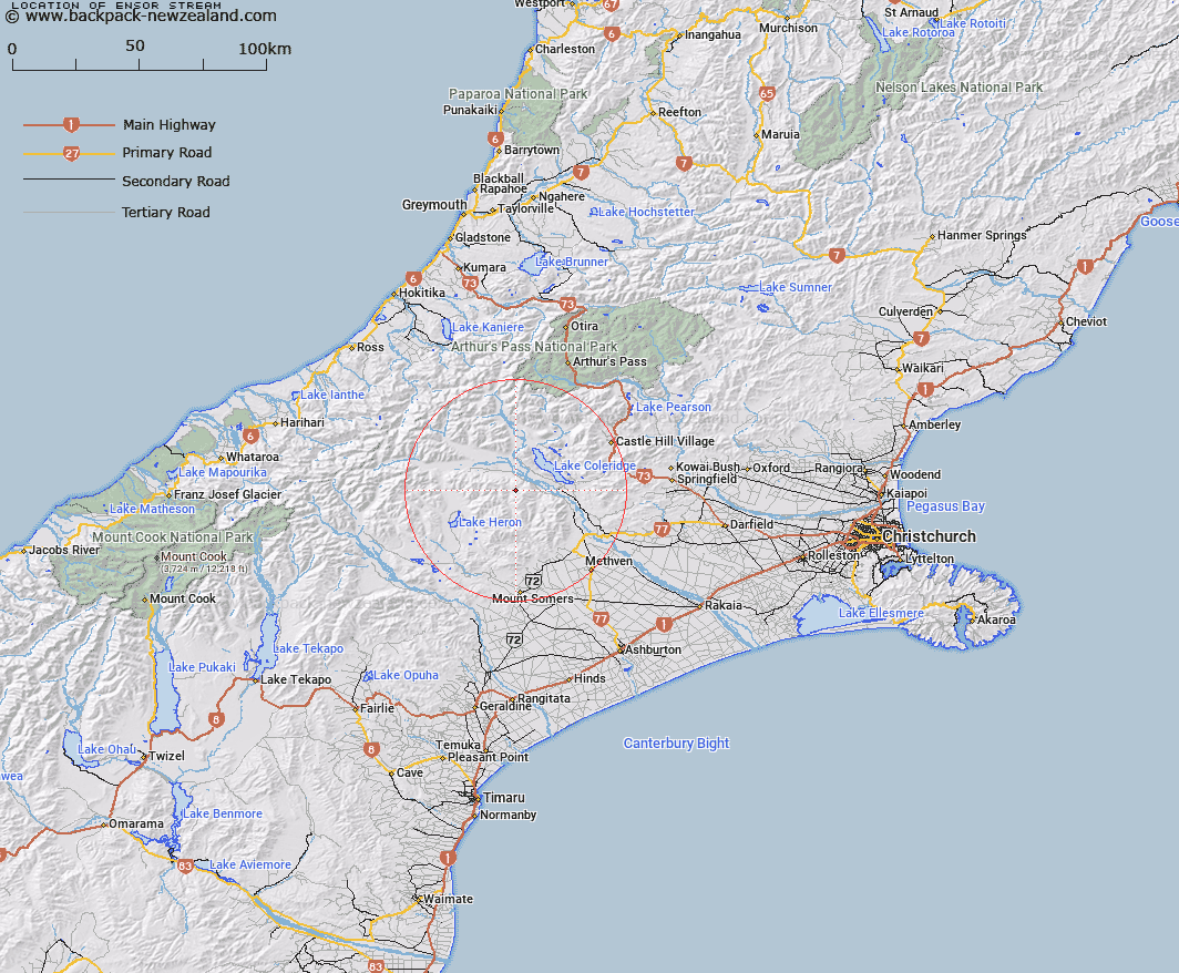
Map showing location of Ensor Stream


LINZ description: Left bank tributary of Turtons Stream rising on the North slope of Black Hill [Trig. Black Hill No 2 (Geodetic Code 1412)], flowing westward and joining Turtons Stream 2.2km South of Turtons Saddle. Block IX, Glenrock Survey District.
Latitude: -43.370147
Longitude: 171.384012
Northing: 5196811.6
Easting: 1469075.9
Land District: Canterbury
Feat Type: Stream


Scroll down to see a more detailed road map and below that a topographical map showing the location of Ensor Stream. The road map has been supplied by openstreetmap and the topographical map of Ensor Stream has been supplied by Land Information New Zealand (LINZ).

Yes you can use the top static map for you school/university project or personal website with a link back. Contact me for any commercial use.

Ensor Stream Map New Zealand


New Zealand places in our database
[ A ] [ B ] [ C ] [ D ] [ E ] [ F ] [ G ] [ H ] [ I ] [ J ] [ K ] [ L ] [ M ] [ N ] [ O ] [ P ] [ Q ] [ R ] [ S ] [ T ] [ U ] [ V ] [ W ] [ X ] [ Y ] [ Z ]


Closest 20 Streams to Ensor Stream

Comyns Stream ( 2.24km )   Donald Stream ( 2.81km )   Turtons Stream ( 3.54km )   Glenrock Stream ( 3.84km )   Petticoat Lane ( 4.84km )   Gerard Stream ( 5.13km )   Packers Creek ( 6.91km )   Glenariffe Stream ( 7.51km )   Colonel Stream ( 8.07km )   Cardinal Stream ( 8.1km )   McCracken Stream ( 8.12km )   Redcliffe Stream ( 8.4km )   Barnard Stream ( 8.64km )   Double Hill Stream ( 8.97km )   Round Hill Creek ( 9.47km )   Jack Stream ( 9.51km )   Logan Stream ( 10.06km )   Godley Stream ( 10.49km )   Middle Creek ( 11.05km )   Kings Drive Stream ( 11.39km )   Station Creek ( 11.57km )   Swift River ( 12.29km )   Snowy Stream ( 12.52km )   Smite River ( 12.64km )   Titan Stream ( 13.24km )   Ribbonwood Stream ( 14.18km )   Home Creek ( 14.69km )   Boundary Creek ( 14.73km )   Hutt Stream ( 14.75km )   Glenfalloch Stream ( 14.75km )   Nell Stream ( 15.31km )   Maxwell Stream ( 15.33km )   Shingly Creek ( 15.41km )   McLennan Creek ( 15.49km )   Gorgon Stream ( 15.53km )   Simois Stream ( 16.02km )   Lake Stream ( 16.51km )   Charlie Stream ( 16.51km )   Oakden Canal ( 16.9km )   Little River ( 16.94km )