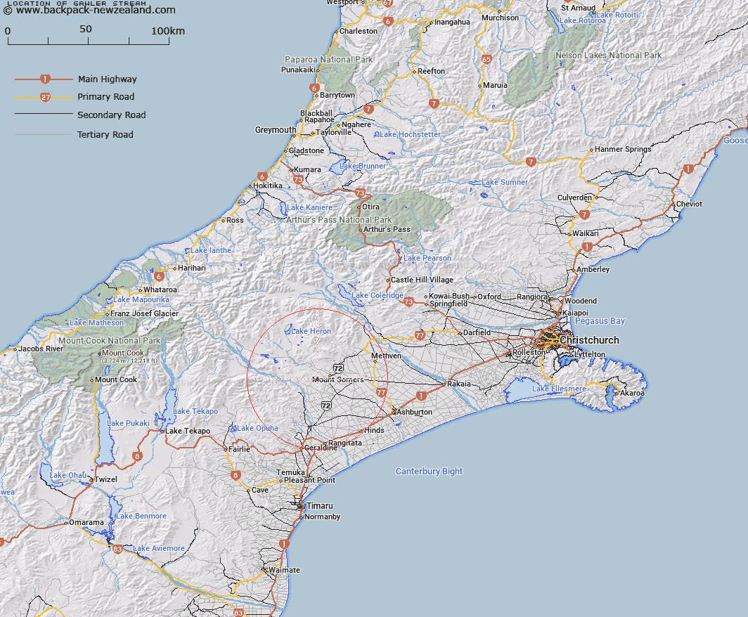
Map showing location of Gawler Stream


LINZ description: Left bank tributary of Limestone Creek rising 750m South-east of Trig. I (Geodetic Code ANFD), flowing generally South-eastward and joining Limestone Creek 3.1km West of Trig. A Gawler Downs (Geodetic Code 1115). Blocks XIII and XIV, Alford Survey District.
Latitude: -43.728838
Longitude: 171.331772
Northing: 5156891.5
Easting: 1465642.8
Land District: Canterbury
Feat Type: Stream


Scroll down to see a more detailed road map and below that a topographical map showing the location of Gawler Stream. The road map has been supplied by openstreetmap and the topographical map of Gawler Stream has been supplied by Land Information New Zealand (LINZ).

Yes you can use the top static map for you school/university project or personal website with a link back. Contact me for any commercial use.

Gawler Stream Map New Zealand


New Zealand places in our database
[ A ] [ B ] [ C ] [ D ] [ E ] [ F ] [ G ] [ H ] [ I ] [ J ] [ K ] [ L ] [ M ] [ N ] [ O ] [ P ] [ Q ] [ R ] [ S ] [ T ] [ U ] [ V ] [ W ] [ X ] [ Y ] [ Z ]


Closest 20 Streams to Gawler Stream

Hinds River North Branch ( 2.21km )   Limestone Creek ( 3km )   Surrey Stream ( 4.27km )   Rangitata Diversion Race ( 4.82km )   South Branch Ashburton River/Hakatere ( 5.4km )   South Branch Ashburton River ( 5.4km )   Broadleaf Stream ( 5.96km )   Stony Creek ( 6.93km )   Buccleugh Stream ( 7.22km )   Hinds River South Branch ( 7.3km )   Buccleuch Stream ( 7.78km )   Furze Stream ( 7.81km )   Little Hinds Stream ( 8km )   Blondin Stream ( 8.19km )   Ghost Stream ( 8.32km )   Caves Stream ( 8.75km )   Rangitata River ( 9.41km )   Woolshed Creek ( 9.54km )   Stevenson Stream ( 9.72km )   Chapmans Creek ( 9.84km )   Reid Stream ( 10.79km )   Chaffey Stream ( 11.24km )   Nabob Stream ( 11.34km )   Middlestream ( 11.51km )   Tinstone Creek ( 12.08km )   Boundary Stream ( 12.42km )   Sandrey Stream ( 12.49km )   The Mill Creek ( 12.74km )   Stour River ( 12.81km )   Flynn Stream ( 12.85km )   Hinds River ( 13.36km )   Blue Duck Stream ( 13.43km )   Bowyers Stream ( 13.94km )   Chapmans Creek ( 14.44km )   Morgan Stream ( 14.75km )   Waterfall Stream ( 15.02km )   Coal Creek ( 15.04km )   Pony Stream ( 15.16km )   Moorhouse Stream ( 15.28km )   Weta Stream ( 15.31km )