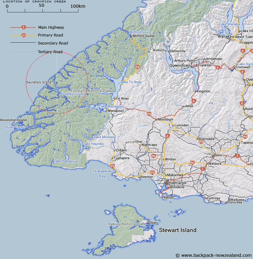
Map showing location of Crayfish Creek


LINZ description: Stream rising south of Crayfish Heights and flows south-westerly into Thompson Sound opposite Phillips Point.
Latitude: -45.225252
Longitude: 167.003375
Northing: 4974506.4
Easting: 1129236.5
Land District: Southland
Feat Type: Stream


Scroll down to see a more detailed road map and below that a topographical map showing the location of Crayfish Creek. The road map has been supplied by openstreetmap and the topographical map of Crayfish Creek has been supplied by Land Information New Zealand (LINZ).

Yes you can use the top static map for you school/university project or personal website with a link back. Contact me for any commercial use.

Crayfish Creek Map New Zealand


New Zealand places in our database
[ A ] [ B ] [ C ] [ D ] [ E ] [ F ] [ G ] [ H ] [ I ] [ J ] [ K ] [ L ] [ M ] [ N ] [ O ] [ P ] [ Q ] [ R ] [ S ] [ T ] [ U ] [ V ] [ W ] [ X ] [ Y ] [ Z ]


Closest 20 Streams to Crayfish Creek

Crayfish Creek ( 0km )   Pandora River ( 3.74km )   Astelia Stream ( 4.91km )   Hub Creek ( 5.05km )   Namu River ( 6.03km )   Mahoe Stream ( 7.56km )   Rum River ( 7.67km )   Toddy Burn ( 8.55km )   Rea River ( 12.99km )   Windward River ( 16.94km )   Misty River ( 17.72km )   Camelot River ( 18.9km )   Juno River ( 22.85km )   Irene River ( 23.47km )   Cozette Burn ( 23.66km )   Elizabeth River ( 24.04km )   Tuaraki Stream ( 24.31km )   Elaine Stream ( 24.31km )   Anehu Stream ( 25.17km )   Jacobs Creek ( 25.21km )   Torre Stream ( 25.71km )   Adams Burn ( 27.08km )   Omaki Stream ( 27.87km )   Forster Burn ( 28.41km )   Gilmour Burn ( 28.6km )   Philipson Burn ( 28.94km )   Freeman Burn ( 29.66km )   Wisely Burn ( 31.45km )   Stella Burn ( 31.62km )   Gorge Burn ( 31.91km )   Stevens Burn ( 32.13km )   McKenzie Burn ( 32.22km )   Esk Burn ( 32.54km )   Lyvia River ( 32.76km )   Expectation Stream ( 33.4km )   Large Burn ( 33.61km )   Wekawai Stream ( 33.88km )   Awe Burn ( 33.97km )   Feldspar Stream ( 34.09km )   Jennings Burn ( 34.49km )