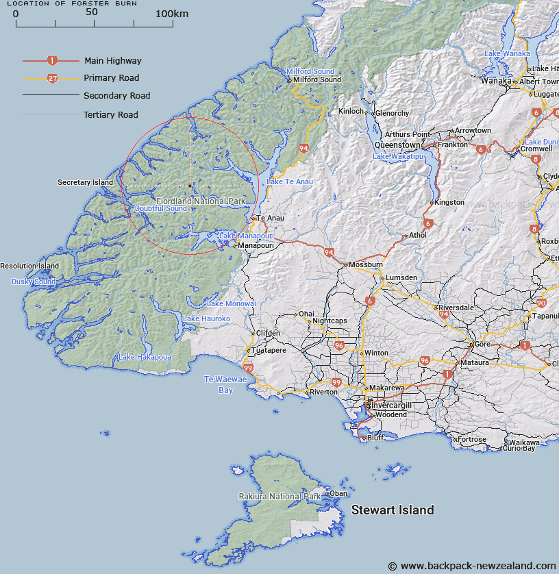
Map showing location of Forster Burn


LINZ description: Flows south-easterly into Esk Burn about 400 yards north of Lake Te Au. Esk Survey District.
Latitude: -45.240211
Longitude: 167.365505
Northing: 4974900
Easting: 1157781
Land District: Southland
Feat Type: Stream


Scroll down to see a more detailed road map and below that a topographical map showing the location of Forster Burn. The road map has been supplied by openstreetmap and the topographical map of Forster Burn has been supplied by Land Information New Zealand (LINZ).

Yes you can use the top static map for you school/university project or personal website with a link back. Contact me for any commercial use.

Forster Burn Map New Zealand


New Zealand places in our database
[ A ] [ B ] [ C ] [ D ] [ E ] [ F ] [ G ] [ H ] [ I ] [ J ] [ K ] [ L ] [ M ] [ N ] [ O ] [ P ] [ Q ] [ R ] [ S ] [ T ] [ U ] [ V ] [ W ] [ X ] [ Y ] [ Z ]


Closest 20 Streams to Forster Burn

Adams Burn ( 2.33km )   Philipson Burn ( 2.63km )   Wisely Burn ( 3.9km )   McKenzie Burn ( 4.23km )   Esk Burn ( 5.75km )   Cozette Burn ( 6.57km )   Gorge Burn ( 7.67km )   Torre Stream ( 8.49km )   Tuaraki Stream ( 8.55km )   Jennings Burn ( 9.76km )   Waterfall Creek ( 10.09km )   Chester Burn ( 10.39km )   Delta Burn ( 10.62km )   Misty River ( 10.72km )   Woodrow Burn ( 11.98km )   Junction Burn ( 11.98km )   Plateau Creek ( 12.9km )   Omaki Stream ( 13.09km )   Freeman Burn ( 13.64km )   Camelot River ( 14.04km )   Windward River ( 14.56km )   Gilmour Burn ( 14.74km )   Elaine Stream ( 14.86km )   Stevens Burn ( 15.09km )   Lyall Burn ( 15.21km )   Rea River ( 15.44km )   William Burn ( 15.54km )   Doon River ( 15.9km )   Anehu Stream ( 15.94km )   Irene River ( 16.78km )   Tutu Burn ( 16.83km )   Large Burn ( 16.92km )   Snag Burn ( 17.89km )   Campbell Creek ( 17.91km )   Lake Creek ( 18.49km )   Pisgah Creek ( 18.72km )   Iris Burn ( 18.79km )   McIvor Burn ( 19.02km )   Mystery Burn ( 19.07km )   Sheerwall Creek ( 19.16km )