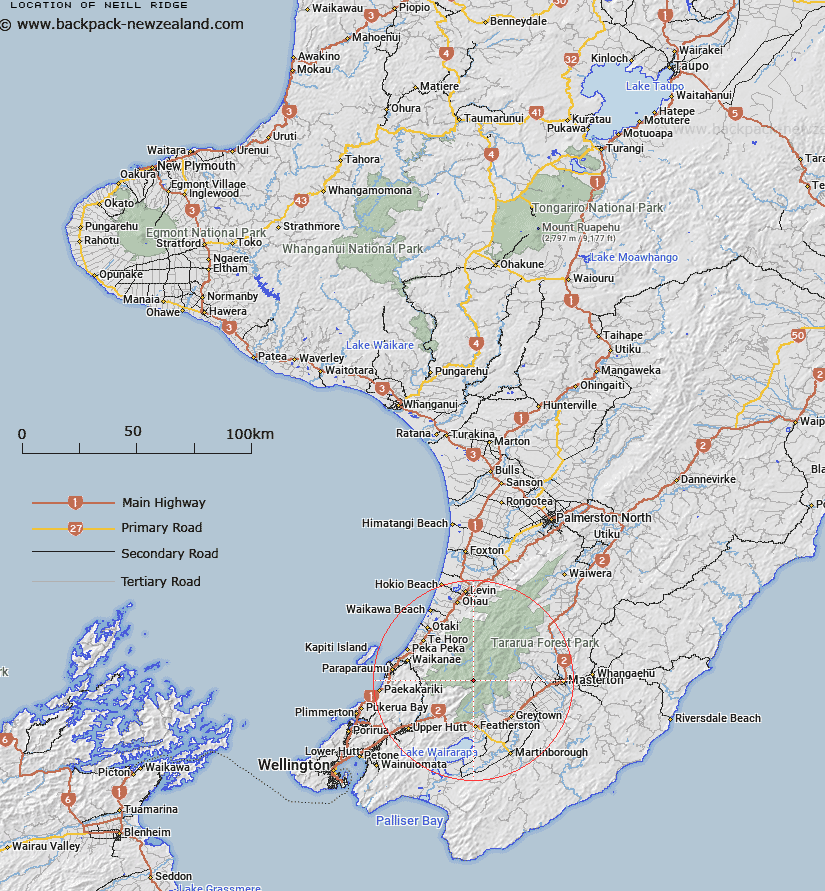
Map showing location of Neill Ridge
LINZ description: Ridge in the Tararua Ranges running easterly from Mount Hector [Trig. R (Geodetic Code B65C)] through Winchcombe (Geodetic Code BDHD)] and Neill Peaks to Cone Peak [Trig. Q (Geodetic Code AJEK)]. Blocks I and II Eritonga Survey District.
Latitude: -40.94797
Longitude: 175.315617
Northing: 5464436.7
Easting: 1794907.6
Land District: Wellington
Feat Type: Ridge
Latitude: -40.94797
Longitude: 175.315617
Northing: 5464436.7
Easting: 1794907.6
Land District: Wellington
Feat Type: Ridge

Scroll down to see a more detailed road map and below that a topographical map showing the location of Neill Ridge. The road map has been supplied by openstreetmap and the topographical map of Neill Ridge has been supplied by Land Information New Zealand (LINZ).
Yes you can use the top static map for you school/university project or personal website with a link back. Contact me for any commercial use.
[ A ] [ B ] [ C ] [ D ] [ E ] [ F ] [ G ] [ H ] [ I ] [ J ] [ K ] [ L ] [ M ] [ N ] [ O ] [ P ] [ Q ] [ R ] [ S ] [ T ] [ U ] [ V ] [ W ] [ X ] [ Y ] [ Z ]