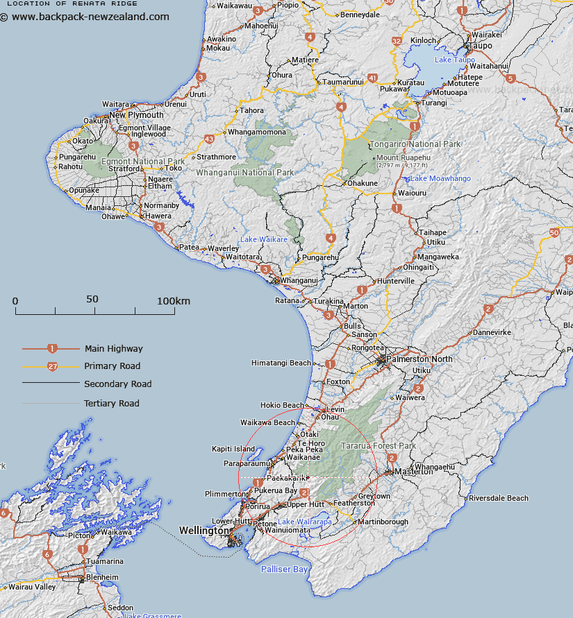
Map showing location of Renata Ridge
LINZ description: Ridge in Tararua Range, running westward from Aston Peak through Elder and Renata [Trig. G (Geodetic Code B4UU)] Peaks to Maymorn Junction at the western end. Blocks III and IV Akatarawa, and Block I Eritonga Survey Districts.
Latitude: -40.976128
Longitude: 175.20029
Northing: 5461561.5
Easting: 1785120.9
Land District: Wellington
Feat Type: Ridge
Latitude: -40.976128
Longitude: 175.20029
Northing: 5461561.5
Easting: 1785120.9
Land District: Wellington
Feat Type: Ridge

Scroll down to see a more detailed road map and below that a topographical map showing the location of Renata Ridge. The road map has been supplied by openstreetmap and the topographical map of Renata Ridge has been supplied by Land Information New Zealand (LINZ).
Yes you can use the top static map for you school/university project or personal website with a link back. Contact me for any commercial use.
[ A ] [ B ] [ C ] [ D ] [ E ] [ F ] [ G ] [ H ] [ I ] [ J ] [ K ] [ L ] [ M ] [ N ] [ O ] [ P ] [ Q ] [ R ] [ S ] [ T ] [ U ] [ V ] [ W ] [ X ] [ Y ] [ Z ]