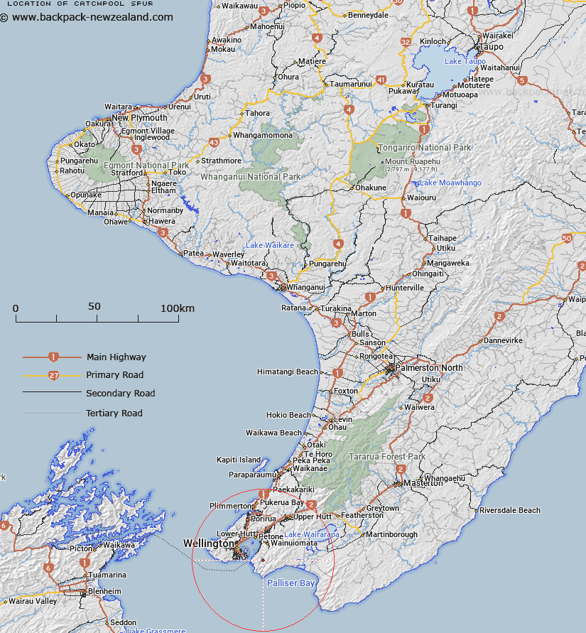
Map showing location of Catchpool Spur


LINZ description: Spur running south from Mount Grace for about 3.5km above the Wainuiomata River and Catchpool Stream.
Latitude: -41.347354
Longitude: 174.922054
Northing: 5420900
Easting: 1760800
Land District: Wellington
Feat Type: Ridge


Scroll down to see a more detailed road map and below that a topographical map showing the location of Catchpool Spur. The road map has been supplied by openstreetmap and the topographical map of Catchpool Spur has been supplied by Land Information New Zealand (LINZ).

Yes you can use the top static map for you school/university project or personal website with a link back. Contact me for any commercial use.

Catchpool Spur Map New Zealand


New Zealand places in our database
[ A ] [ B ] [ C ] [ D ] [ E ] [ F ] [ G ] [ H ] [ I ] [ J ] [ K ] [ L ] [ M ] [ N ] [ O ] [ P ] [ Q ] [ R ] [ S ] [ T ] [ U ] [ V ] [ W ] [ X ] [ Y ] [ Z ]


Closest 20 Ridges to Catchpool Spur

Cattle Ridge ( 2.17km )   Link Ridge ( 3.19km )   Hornes Ridge ( 4.02km )   Paua Ridge ( 4.08km )   Te Whet? Kairangi Ridge ( 8.73km )   Drummond Ridge ( 14.85km )   Long Ridge ( 15.91km )   Kaumatua Ridge ( 34.87km )   Goat Spur ( 34.96km )   Mackay Spur ( 35.71km )   Jackatoo Spur ( 38.71km )   Maymorn Ridge ( 43.01km )   Quoin Ridge ( 46.62km )   Renata Ridge ( 47.4km )   Marchant Ridge ( 47.71km )   False Spur ( 51.62km )   Rae Ridge ( 54.53km )   Neill Ridge ( 55.3km )   Judd Ridge ( 56.45km )   Cone Ridge ( 58.24km )   Middle Spur ( 61.35km )   High Ridge ( 63.83km )   Carrington Ridge ( 64.85km )   Oriwa Ridge ( 71.72km )   The Three Kings ( 72.69km )   Dorset Ridge ( 73.12km )   Carkeek Ridge ( 75.45km )   Tarn Ridge ( 76.07km )   Table Ridge ( 76.72km )   Waiohine Pinnacles ( 77.27km )   Pinnacle Spur ( 78.33km )   Dora Ridge ( 78.38km )   Limestone Ridge ( 79.7km )   Twins ( 80.22km )   Gable End Ridge ( 80.74km )   Triangle Spur ( 81.73km )   Deception Spur ( 81.76km )   Cattle Ridge ( 82.64km )   Dundas Ridge ( 82.66km )   Haukura Ridge ( 86.89km )