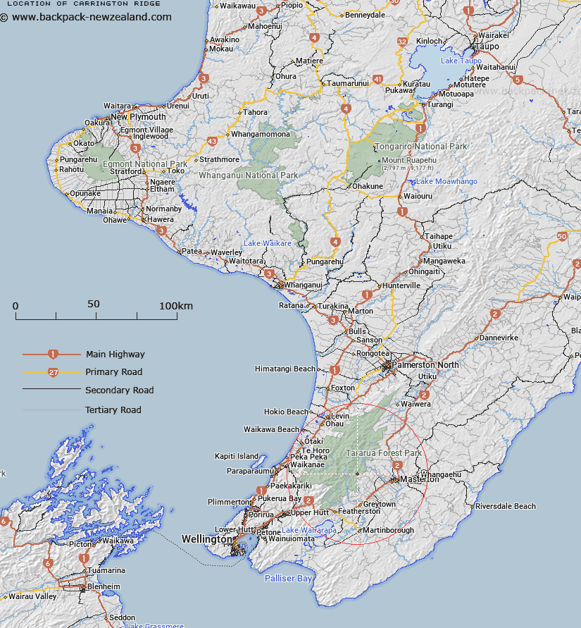
Map showing location of Carrington Ridge


LINZ description: Between Carrington and Gentle Annie Creeks, descending from near Rocky Lookout. Mikimiki Survey District.
Latitude: -40.917941
Longitude: 175.445999
Northing: 5467471.5
Easting: 1805976.1
Land District: Wellington
Feat Type: Ridge


Scroll down to see a more detailed road map and below that a topographical map showing the location of Carrington Ridge. The road map has been supplied by openstreetmap and the topographical map of Carrington Ridge has been supplied by Land Information New Zealand (LINZ).

Yes you can use the top static map for you school/university project or personal website with a link back. Contact me for any commercial use.

Carrington Ridge Map New Zealand


New Zealand places in our database
[ A ] [ B ] [ C ] [ D ] [ E ] [ F ] [ G ] [ H ] [ I ] [ J ] [ K ] [ L ] [ M ] [ N ] [ O ] [ P ] [ Q ] [ R ] [ S ] [ T ] [ U ] [ V ] [ W ] [ X ] [ Y ] [ Z ]


Closest 20 Ridges to Carrington Ridge

High Ridge ( 4.1km )   Cone Ridge ( 7.43km )   Middle Spur ( 7.6km )   The Three Kings ( 10.3km )   Neill Ridge ( 11.45km )   Dorset Ridge ( 12.85km )   Table Ridge ( 14.77km )   False Spur ( 15.15km )   Tarn Ridge ( 15.6km )   Carkeek Ridge ( 15.92km )   Judd Ridge ( 16.99km )   Waiohine Pinnacles ( 17.03km )   Pinnacle Spur ( 17.18km )   Marchant Ridge ( 17.48km )   Rae Ridge ( 17.56km )   Oriwa Ridge ( 17.79km )   Twins ( 19.3km )   Quoin Ridge ( 19.69km )   Cattle Ridge ( 20.14km )   Dora Ridge ( 21.62km )   Renata Ridge ( 21.63km )   Dundas Ridge ( 21.8km )   Triangle Spur ( 22.54km )   Deception Spur ( 24.01km )   Gable End Ridge ( 24.34km )   Haukura Ridge ( 24.49km )   Maymorn Ridge ( 25.03km )   The Camelbacks ( 28.92km )   Kaumatua Ridge ( 29.99km )   Island Ridge ( 30.04km )   Kerosene Ridge ( 42.98km )   Long Ridge ( 49.06km )   Drummond Ridge ( 50.37km )   Paua Ridge ( 63.41km )   Cattle Ridge ( 63.81km )   Catchpool Spur ( 64.85km )   Hornes Ridge ( 66.16km )   Link Ridge ( 67.59km )   Te Whet? Kairangi Ridge ( 68.57km )   Mackay Spur ( 70.73km )