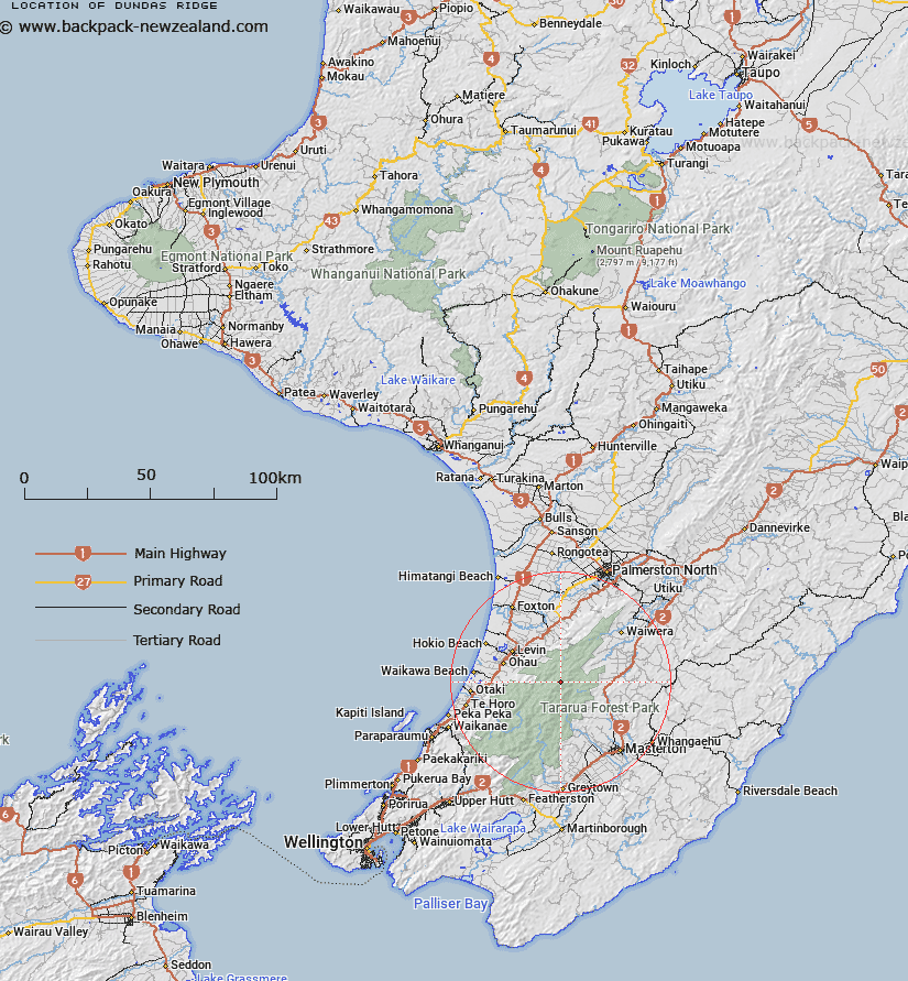
Map showing location of Dundas Ridge
LINZ description: Ridge in Tararua Range from Arete Peak in the South-west, North-eastward through Mount Dundas [Trig. I (Geodetic Code B18Y)], Pukemoremore Peak (Geodetic Code AJ5J), to West Peak. Blocks VIII, XI, and XII Tararua, and Blocks XII and XVI Waiopehu Survey Districts.
Latitude: -40.721987
Longitude: 175.454976
Northing: 5489205.4
Easting: 1807341.9
Land District: Wellington
Feat Type: Ridge
Latitude: -40.721987
Longitude: 175.454976
Northing: 5489205.4
Easting: 1807341.9
Land District: Wellington
Feat Type: Ridge

Scroll down to see a more detailed road map and below that a topographical map showing the location of Dundas Ridge. The road map has been supplied by openstreetmap and the topographical map of Dundas Ridge has been supplied by Land Information New Zealand (LINZ).
Yes you can use the top static map for you school/university project or personal website with a link back. Contact me for any commercial use.
[ A ] [ B ] [ C ] [ D ] [ E ] [ F ] [ G ] [ H ] [ I ] [ J ] [ K ] [ L ] [ M ] [ N ] [ O ] [ P ] [ Q ] [ R ] [ S ] [ T ] [ U ] [ V ] [ W ] [ X ] [ Y ] [ Z ]