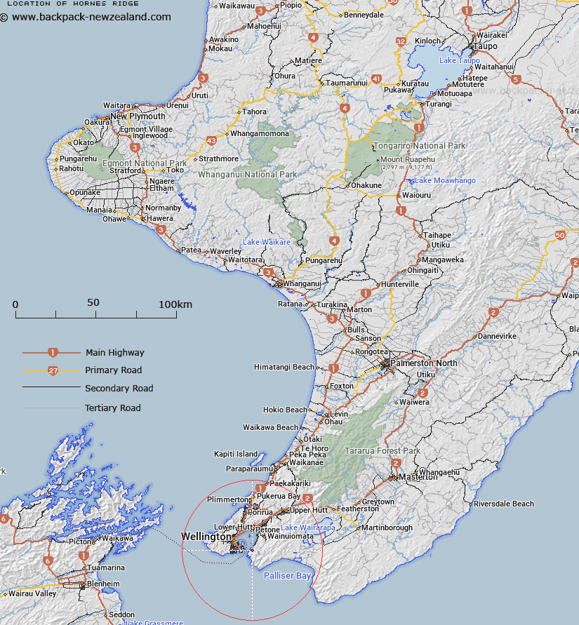
Map showing location of Hornes Ridge


LINZ description: Ridge running NE from Mount Cameron, Pencarrow Head (geodetic code: 8801)
Latitude: -41.33186
Longitude: 174.87858
Northing: 5422700
Easting: 1757200
Land District: Wellington
Feat Type: Ridge


Scroll down to see a more detailed road map and below that a topographical map showing the location of Hornes Ridge. The road map has been supplied by openstreetmap and the topographical map of Hornes Ridge has been supplied by Land Information New Zealand (LINZ).

Yes you can use the top static map for you school/university project or personal website with a link back. Contact me for any commercial use.

Hornes Ridge Map New Zealand


New Zealand places in our database
[ A ] [ B ] [ C ] [ D ] [ E ] [ F ] [ G ] [ H ] [ I ] [ J ] [ K ] [ L ] [ M ] [ N ] [ O ] [ P ] [ Q ] [ R ] [ S ] [ T ] [ U ] [ V ] [ W ] [ X ] [ Y ] [ Z ]


Closest 20 Ridges to Hornes Ridge

Link Ridge ( 2.65km )   Catchpool Spur ( 4.02km )   Te Whet? Kairangi Ridge ( 4.74km )   Cattle Ridge ( 6.16km )   Paua Ridge ( 8.09km )   Drummond Ridge ( 15.79km )   Long Ridge ( 17.15km )   Kaumatua Ridge ( 36.2km )   Goat Spur ( 38.89km )   Mackay Spur ( 39.65km )   Jackatoo Spur ( 42.63km )   Maymorn Ridge ( 43.48km )   Quoin Ridge ( 47.46km )   Renata Ridge ( 47.86km )   Marchant Ridge ( 48.83km )   False Spur ( 52.47km )   Rae Ridge ( 54.93km )   Neill Ridge ( 56.23km )   Judd Ridge ( 56.82km )   Cone Ridge ( 59.36km )   Middle Spur ( 62.26km )   High Ridge ( 64.91km )   Carrington Ridge ( 66.16km )   Oriwa Ridge ( 72.08km )   The Three Kings ( 73.62km )   Dorset Ridge ( 73.87km )   Carkeek Ridge ( 76.09km )   Tarn Ridge ( 76.77km )   Table Ridge ( 77.53km )   Waiohine Pinnacles ( 77.93km )   Limestone Ridge ( 78.11km )   Dora Ridge ( 78.75km )   Pinnacle Spur ( 79.05km )   Twins ( 80.88km )   Gable End Ridge ( 81.03km )   Deception Spur ( 82.14km )   Triangle Spur ( 82.22km )   Dundas Ridge ( 83.29km )   Cattle Ridge ( 83.43km )   Miser Spur ( 86.67km )