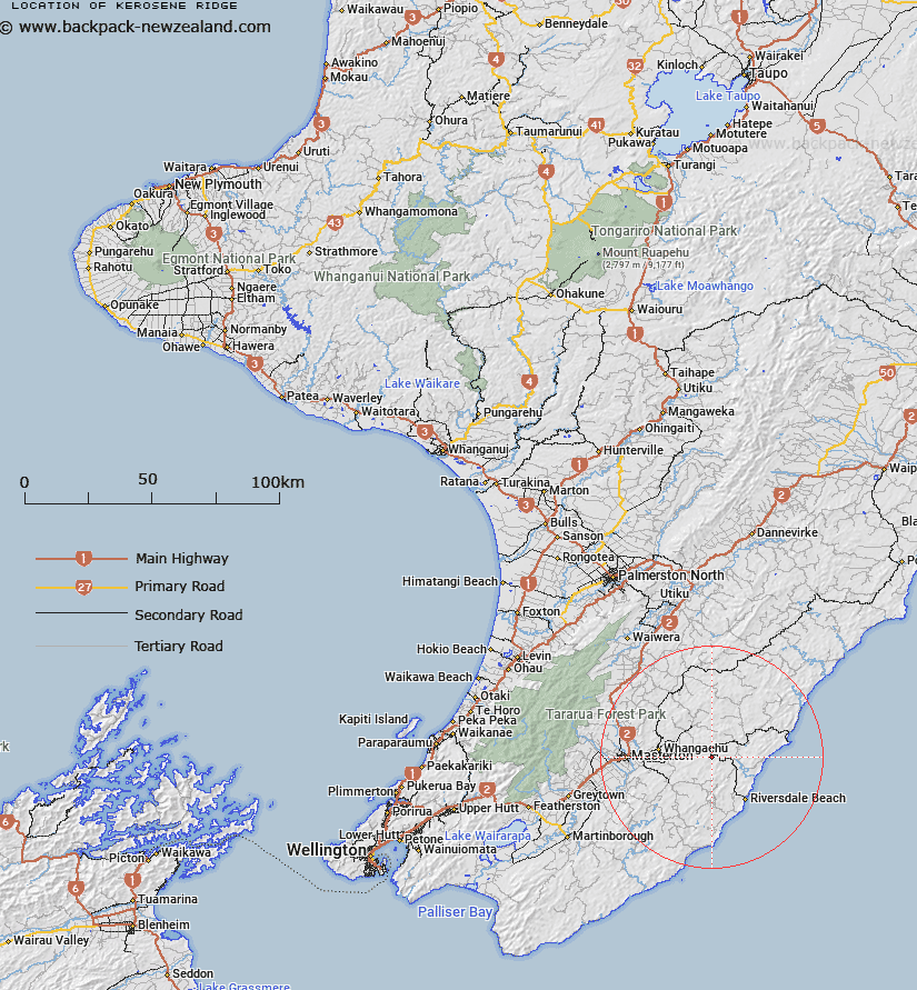
Map showing location of Kerosene Ridge
LINZ description: Ridge forming the divide between Mangapokia and Biscuit Streams, running South from Blairlogie Road, through Mangapakeha Trig. (Geodetic Code B667), to a northern headwater of Blairlogie Stream. Block II Rewa Survey District.
Latitude: -40.949866
Longitude: 175.955903
Northing: 5462600
Easting: 1848800
Land District: Wellington
Feat Type: Ridge
Latitude: -40.949866
Longitude: 175.955903
Northing: 5462600
Easting: 1848800
Land District: Wellington
Feat Type: Ridge

Scroll down to see a more detailed road map and below that a topographical map showing the location of Kerosene Ridge. The road map has been supplied by openstreetmap and the topographical map of Kerosene Ridge has been supplied by Land Information New Zealand (LINZ).
Yes you can use the top static map for you school/university project or personal website with a link back. Contact me for any commercial use.
[ A ] [ B ] [ C ] [ D ] [ E ] [ F ] [ G ] [ H ] [ I ] [ J ] [ K ] [ L ] [ M ] [ N ] [ O ] [ P ] [ Q ] [ R ] [ S ] [ T ] [ U ] [ V ] [ W ] [ X ] [ Y ] [ Z ]