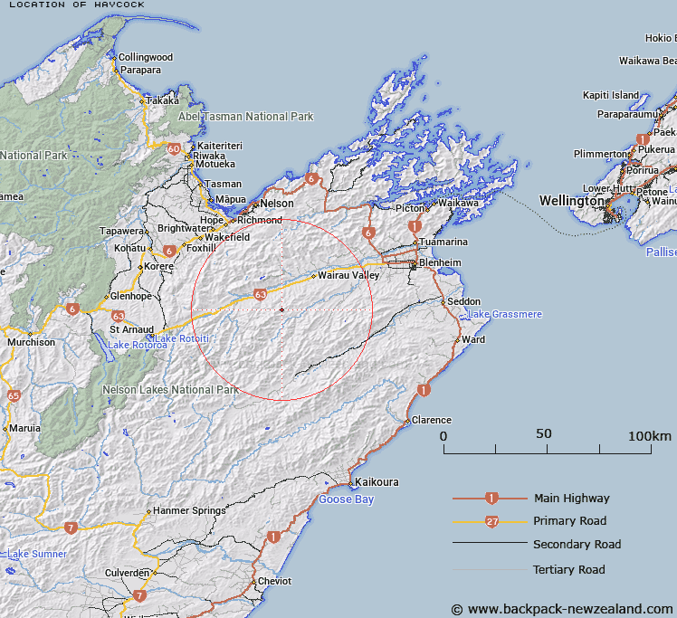
Map showing location of Haycock
LINZ description: Geodetic code 1185 at 1199m height south of Little Haycock Stream, south-east of Boundary Creek, 5km west of the Waihopai River
Latitude: -41.700509
Longitude: 173.394208
Northing: 5383400
Easting: 1632800
Land District: Marlborough
Feat Type: Trig Station
Latitude: -41.700509
Longitude: 173.394208
Northing: 5383400
Easting: 1632800
Land District: Marlborough
Feat Type: Trig Station

Scroll down to see a more detailed road map and below that a topographical map showing the location of Haycock. The road map has been supplied by openstreetmap and the topographical map of Haycock has been supplied by Land Information New Zealand (LINZ).
Yes you can use the top static map for you school/university project or personal website with a link back. Contact me for any commercial use.
[ A ] [ B ] [ C ] [ D ] [ E ] [ F ] [ G ] [ H ] [ I ] [ J ] [ K ] [ L ] [ M ] [ N ] [ O ] [ P ] [ Q ] [ R ] [ S ] [ T ] [ U ] [ V ] [ W ] [ X ] [ Y ] [ Z ]