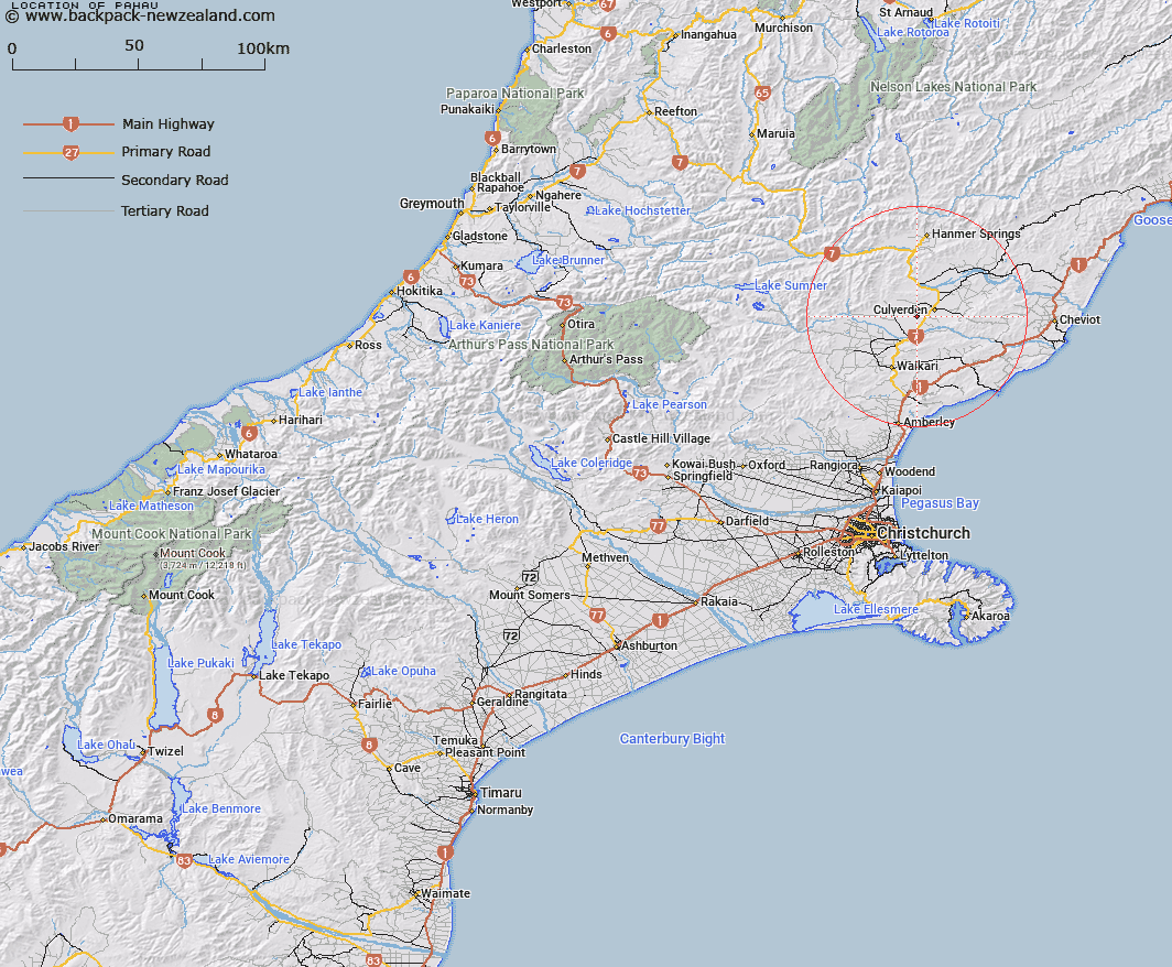
Map showing location of Pahau


LINZ description: Located in Block IX Culverden Survey District
Latitude: -42.797062
Longitude: 172.793338
Northing: 5261700
Easting: 1583100
Land District: Canterbury
Feat Type: Trig Station


Scroll down to see a more detailed road map and below that a topographical map showing the location of Pahau. The road map has been supplied by openstreetmap and the topographical map of Pahau has been supplied by Land Information New Zealand (LINZ).

Yes you can use the top static map for you school/university project or personal website with a link back. Contact me for any commercial use.

Pahau Map New Zealand


New Zealand places in our database
[ A ] [ B ] [ C ] [ D ] [ E ] [ F ] [ G ] [ H ] [ I ] [ J ] [ K ] [ L ] [ M ] [ N ] [ O ] [ P ] [ Q ] [ R ] [ S ] [ T ] [ U ] [ V ] [ W ] [ X ] [ Y ] [ Z ]


Closest 20 Trig Stations to Pahau

Flintoff ( 13.55km )   Flintoft ( 13.55km )   Mount Saul ( 22.33km )   Weka ( 24.82km )   Faerie Queene ( 63.49km )   Tihiokahukura ( 88.27km )   Harris ( 88.41km )   Tara ( 99.83km )   Tutaki ( 114.28km )   Round Top ( 116.91km )   Nestor ( 122.11km )   Haycock ( 131.58km )   Korere ( 141.01km )   Kowhitirangi ( 148.17km )   Koiterangi ( 148.17km )   Kohatu ( 149.36km )   Dumgree ( 164.58km )   Dovedale ( 167.84km )   Rabbit Hill ( 176.26km )   Rangitata ( 181.62km )   Coldstream ( 181.62km )   Dukeshead ( 183.29km )   McLarens ( 200.98km )   Matapehe ( 200.98km )   Mount Pisgah ( 209.84km )   Murray Peak ( 209.84km )   Chastleton ( 211.08km )   Te Kopahou ( 226.32km )   Tawatawa ( 230.44km )   Flag No. 2 ( 232.09km )   Vogeltown ( 232.09km )   Melrose ( 232.7km )   Flag No. 1 ( 232.7km )   Johnston Hill ( 233.49km )   Johnson Hill ( 233.49km )   Etako ( 234.27km )   Witako ( 234.27km )   Mount Misery ( 239.55km )   Rangoon Heights ( 239.55km )   Ngauranga ( 240.11km )