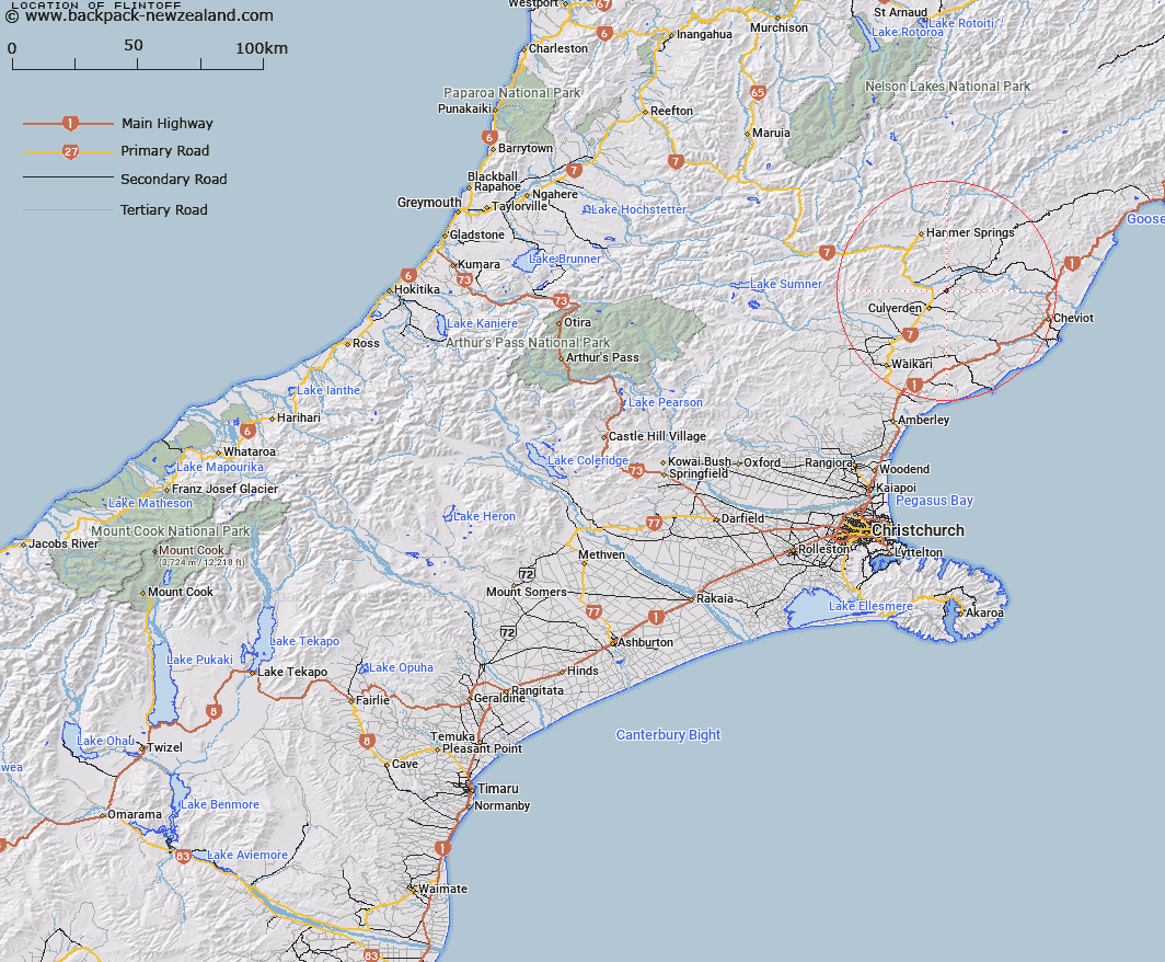
Map showing location of Flintoff
LINZ description: Trig. Station situated on the intersection of Flintoft Mouse Point Road and Rotherham South Road, between the localites of Culverden and the Rotherham. (Geodetic Code A8D9). Culverden Survey District.
Latitude: -42.716003
Longitude: 172.917265
Northing: 5270718.5
Easting: 1593225.4
Land District: Canterbury
Feat Type: Trig Station
Latitude: -42.716003
Longitude: 172.917265
Northing: 5270718.5
Easting: 1593225.4
Land District: Canterbury
Feat Type: Trig Station

Scroll down to see a more detailed road map and below that a topographical map showing the location of Flintoff. The road map has been supplied by openstreetmap and the topographical map of Flintoff has been supplied by Land Information New Zealand (LINZ).
Yes you can use the top static map for you school/university project or personal website with a link back. Contact me for any commercial use.
[ A ] [ B ] [ C ] [ D ] [ E ] [ F ] [ G ] [ H ] [ I ] [ J ] [ K ] [ L ] [ M ] [ N ] [ O ] [ P ] [ Q ] [ R ] [ S ] [ T ] [ U ] [ V ] [ W ] [ X ] [ Y ] [ Z ]