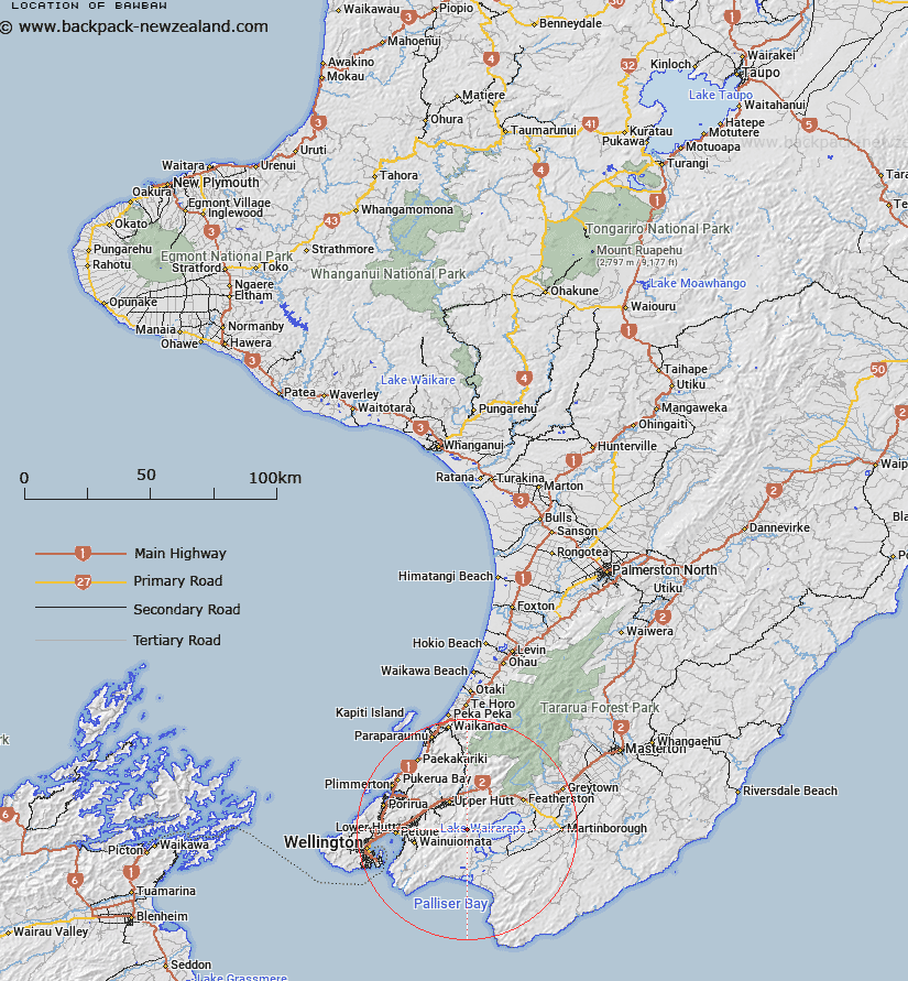
Map showing location of Bawbaw


LINZ description: At 810m height in the Rimutaka Range north west of Burling Trig A20B
Latitude: -41.216706
Longitude: 175.129359
Northing: 5435000
Easting: 1778500
Land District: Wellington
Feat Type: Trig Station


Scroll down to see a more detailed road map and below that a topographical map showing the location of Bawbaw. The road map has been supplied by openstreetmap and the topographical map of Bawbaw has been supplied by Land Information New Zealand (LINZ).

Yes you can use the top static map for you school/university project or personal website with a link back. Contact me for any commercial use.

Bawbaw Map New Zealand


New Zealand places in our database
[ A ] [ B ] [ C ] [ D ] [ E ] [ F ] [ G ] [ H ] [ I ] [ J ] [ K ] [ L ] [ M ] [ N ] [ O ] [ P ] [ Q ] [ R ] [ S ] [ T ] [ U ] [ V ] [ W ] [ X ] [ Y ] [ Z ]


Closest 20 Trig Stations to Bawbaw

Waiorongomai ( 6km )   Wairongomai ( 6km )   Wairongoma ( 6km )   Mangaroa ( 11.39km )   Tunnel ( 12.89km )   Mangaroa ( 12.89km )   Kaitoke ( 12.89km )   Puketea ( 17.95km )   Pukeatea ( 17.95km )   Tauherenikau ( 25.72km )   Tauwharenikau ( 25.72km )   Te Maunga ( 26.4km )   Ngahauranga ( 26.46km )   Ngauranga ( 26.46km )   Rangoon Heights ( 27.78km )   Mount Misery ( 27.78km )   Wainui (Whareroa) ( 29.87km )   Whareroa ( 29.87km )   Whatarangi ( 30.17km )   Waitarangi ( 30.17km )   Flag No. 1 ( 30.65km )   Melrose ( 30.65km )   Witako ( 31.12km )   Etako ( 31.12km )   Vogeltown ( 31.77km )   Flag No. 2 ( 31.77km )   Tawatawa ( 32.97km )   Johnston Hill ( 33.25km )   Johnson Hill ( 33.25km )   Dennan ( 34.33km )   Whawanui ( 36.09km )   Kaiwhiri ( 36.09km )   Te Kopahou ( 37.67km )   Whakapuni ( 37.99km )   Wakapuni ( 37.99km )   Mangatarere ( 43.12km )   Kaikaikuri ( 43.54km )   Kaikakuri ( 43.54km )   Tuteremoana ( 44.74km )   Te Awaiti ( 46.96km )