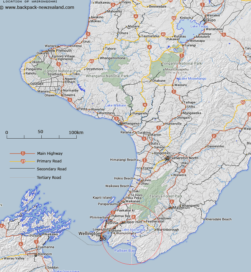
Map showing location of Wairongomai


LINZ description: Located south-east of Lake Wairarapa.
Latitude: -41.265681
Longitude: 175.159599
Northing: 5429500
Easting: 1780900
Land District: Wellington
Feat Type: Trig Station


Scroll down to see a more detailed road map and below that a topographical map showing the location of Wairongomai. The road map has been supplied by openstreetmap and the topographical map of Wairongomai has been supplied by Land Information New Zealand (LINZ).

Yes you can use the top static map for you school/university project or personal website with a link back. Contact me for any commercial use.

Wairongomai Map New Zealand


New Zealand places in our database
[ A ] [ B ] [ C ] [ D ] [ E ] [ F ] [ G ] [ H ] [ I ] [ J ] [ K ] [ L ] [ M ] [ N ] [ O ] [ P ] [ Q ] [ R ] [ S ] [ T ] [ U ] [ V ] [ W ] [ X ] [ Y ] [ Z ]


Closest 20 Trig Stations to Wairongomai

Bawbaw ( 6km )   Mangaroa ( 17.3km )   Kaitoke ( 17.86km )   Tunnel ( 17.86km )   Mangaroa ( 17.86km )   Puketea ( 18.82km )   Pukeatea ( 18.82km )   Te Maunga ( 20.65km )   Waitarangi ( 24.32km )   Whatarangi ( 24.32km )   Tauwharenikau ( 28.76km )   Tauherenikau ( 28.76km )   Ngauranga ( 28.87km )   Ngahauranga ( 28.87km )   Whawanui ( 30.1km )   Kaiwhiri ( 30.1km )   Rangoon Heights ( 30.3km )   Mount Misery ( 30.3km )   Flag No. 1 ( 31.54km )   Melrose ( 31.54km )   Etako ( 32.77km )   Witako ( 32.77km )   Vogeltown ( 32.82km )   Flag No. 2 ( 32.82km )   Wakapuni ( 33.73km )   Whakapuni ( 33.73km )   Tawatawa ( 33.76km )   Johnston Hill ( 35.17km )   Johnson Hill ( 35.17km )   Whareroa ( 35.87km )   Wainui (Whareroa) ( 35.87km )   Te Kopahou ( 38.47km )   Dennan ( 38.87km )   Kaikaikuri ( 39.85km )   Kaikakuri ( 39.85km )   Te Awaiti ( 41.62km )   Te Awaite ( 41.62km )   Mangatarere ( 45.49km )   Pariwhaririki ( 50.61km )   Pariwhariki ( 50.61km )