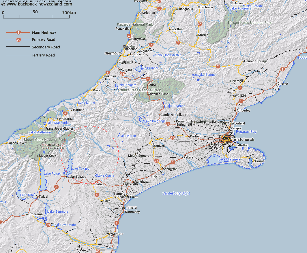
Map showing location of Bullock Bow Saddle


LINZ description: Saddle at the southern end of the Sinclair Range 2.8km North-east of Trig. O (Geodetic Code ANB2), between tributaries of Bush Stream and Forest Creek. Block VI Fox Survey District.
Latitude: -43.7196
Longitude: 170.792487
Northing: 5156901.7
Easting: 1422181.2
Land District: Canterbury
Feat Type: Pass


Scroll down to see a more detailed road map and below that a topographical map showing the location of Bullock Bow Saddle. The road map has been supplied by openstreetmap and the topographical map of Bullock Bow Saddle has been supplied by Land Information New Zealand (LINZ).

Yes you can use the top static map for you school/university project or personal website with a link back. Contact me for any commercial use.

Bullock Bow Saddle Map New Zealand


New Zealand places in our database
[ A ] [ B ] [ C ] [ D ] [ E ] [ F ] [ G ] [ H ] [ I ] [ J ] [ K ] [ L ] [ M ] [ N ] [ O ] [ P ] [ Q ] [ R ] [ S ] [ T ] [ U ] [ V ] [ W ] [ X ] [ Y ] [ Z ]


Closest 20 Passs to Bullock Bow Saddle

Butler Saddle ( 7.97km )   Stag Saddle ( 8.52km )   Brabazon Saddle ( 13.25km )   Helen Col ( 14.38km )   Tom Thumb Col ( 14.41km )   Athene Col ( 15.55km )   Cassandra Col ( 17.04km )   Inkerman Saddle ( 17.81km )   Alma Col ( 18.5km )   Balmacaan Saddle ( 19.61km )   Meikleburn Saddle ( 20.94km )   Balaclava Saddle ( 21.19km )   Balaclava Saddle ( 21.19km )   Stoneleigh Saddle ( 21.83km )   Plata Col ( 21.83km )   Easy Col ( 29.71km )   Tekapo Saddle ( 30.22km )   Twilight Col ( 30.76km )   Separation Col ( 32.23km )   Brown Saddle ( 32.33km )   Rankin Pass ( 32.52km )   Revelation Col ( 32.59km )   Blue Mountain Pass ( 33.27km )   Terra Nova Pass ( 34.28km )   St Winifred Col ( 34.72km )   Godley Pass ( 34.95km )   Armadillo Saddle ( 35.82km )   Hidden Col ( 35.85km )   Dummy Col ( 36.03km )   Waitohi Saddle ( 36.38km )   Dennistoun Pass ( 36.58km )   Fan Col ( 36.68km )   Stewart Saddle ( 36.75km )   Veil Col ( 37.16km )   Kehua Pass ( 37.18km )   Rutherford Pass ( 37.22km )   Sealy Pass ( 38.16km )   Ailsa Pass ( 38.21km )   Gunn Pass ( 38.33km )   Jollie Saddle ( 38.4km )