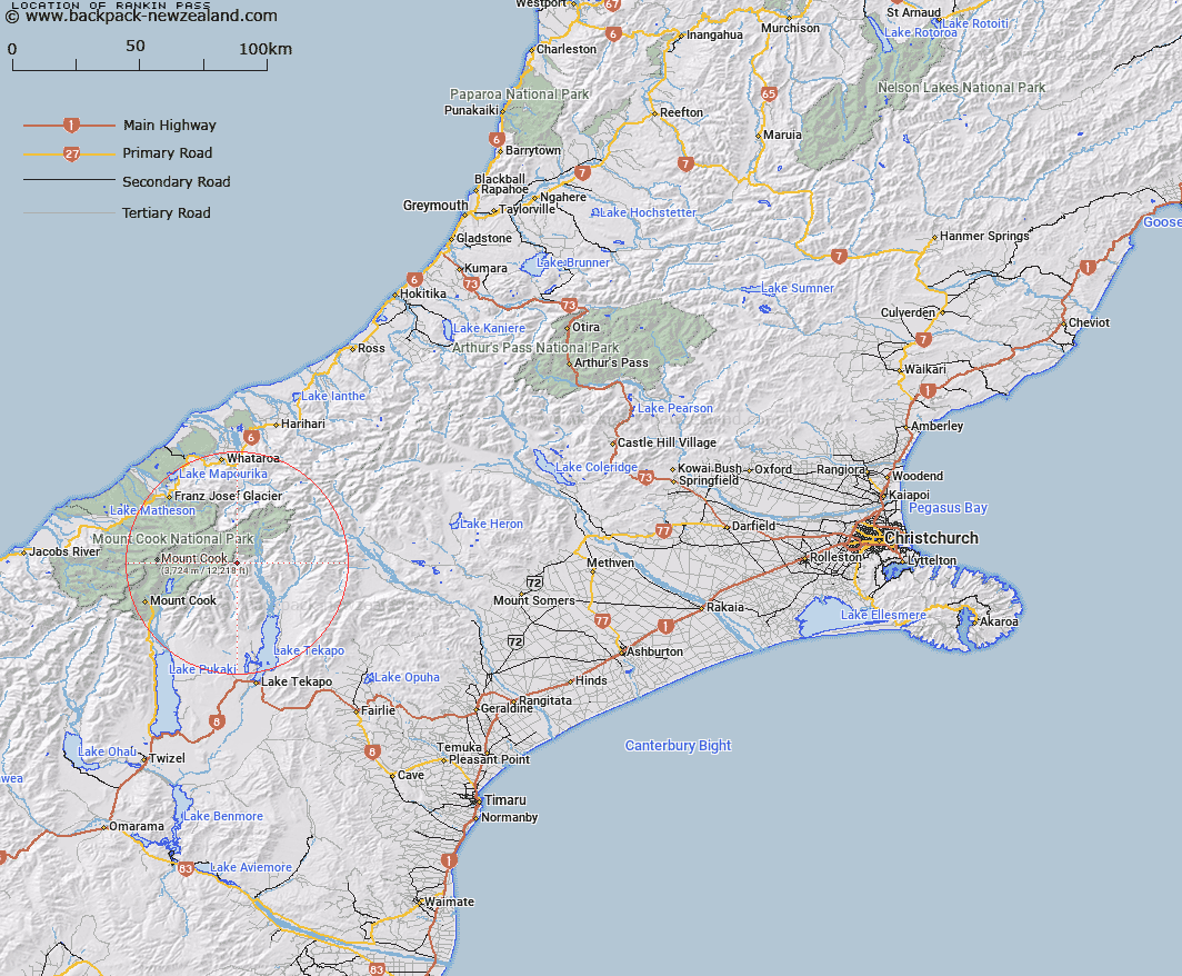
Map showing location of Rankin Pass


LINZ description: Mountain pass in the Hall Range, above Rankin Stream, between the Hall and Liebig Ranges, 2.2km South-east of Mount Ronald Adair. Block XII Cook Survey District.
Latitude: -43.606737
Longitude: 170.419542
Northing: 5168568.9
Easting: 1391748.9
Land District: Canterbury
Feat Type: Pass


Scroll down to see a more detailed road map and below that a topographical map showing the location of Rankin Pass. The road map has been supplied by openstreetmap and the topographical map of Rankin Pass has been supplied by Land Information New Zealand (LINZ).

Yes you can use the top static map for you school/university project or personal website with a link back. Contact me for any commercial use.

Rankin Pass Map New Zealand


New Zealand places in our database
[ A ] [ B ] [ C ] [ D ] [ E ] [ F ] [ G ] [ H ] [ I ] [ J ] [ K ] [ L ] [ M ] [ N ] [ O ] [ P ] [ Q ] [ R ] [ S ] [ T ] [ U ] [ V ] [ W ] [ X ] [ Y ] [ Z ]


Closest 20 Passs to Rankin Pass

Godley Pass ( 4.27km )   Rutherford Pass ( 6.11km )   Armadillo Saddle ( 6.85km )   Kehua Pass ( 6.86km )   Ailsa Pass ( 8.11km )   Jollie Saddle ( 9.52km )   Starvation Saddle ( 10.32km )   Malte Brun Pass ( 10.77km )   Tasman Saddle ( 11.4km )   Classen Saddle ( 11.75km )   Whymper Saddle ( 12.04km )   Abbey Pass ( 12.46km )   Whataroa Saddle ( 12.88km )   Lendenfeld Saddle ( 14.2km )   Divers Col ( 15.14km )   Climbers Col ( 15.23km )   Graham Saddle ( 16.92km )   Frenchay Col ( 18.26km )   Governor Col ( 19.25km )   Pioneer Pass ( 19.65km )   Twilight Col ( 20.15km )   Cinerama Col ( 20.27km )   Marcel Pass ( 20.35km )   Separation Col ( 20.4km )   West Hoe Pass ( 20.46km )   Grey Pass ( 20.55km )   Callery Saddle ( 20.84km )   Newton Pass ( 20.88km )   Engineer Pass ( 20.95km )   Revelation Col ( 20.95km )   Engineer Col ( 20.97km )   Plata Col ( 21.14km )   Jacqueline Col ( 21.57km )   Maud Pass ( 21.73km )   Ball Pass ( 21.98km )   Halcombe Col ( 22.11km )   Balaclava Saddle ( 22.14km )   Balaclava Saddle ( 22.14km )   Proud Pass ( 22.18km )   Endeavour Col ( 22.24km )