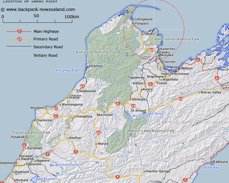
Map showing location of Uarau Point


LINZ description: Point on the eastern shore of Wainui Bay, 1km South of Taupo Point, Golden Bay. Block I Totaranui Survey District.
Latitude: -40.798741
Longitude: 172.951937
Northing: 5483583
Easting: 1595945.5
Land District: Nelson
Feat Type: Point


Scroll down to see a more detailed road map and below that a topographical map showing the location of Uarau Point. The road map has been supplied by openstreetmap and the topographical map of Uarau Point has been supplied by Land Information New Zealand (LINZ).

Yes you can use the top static map for you school/university project or personal website with a link back. Contact me for any commercial use.

Uarau Point Map New Zealand


New Zealand places in our database
[ A ] [ B ] [ C ] [ D ] [ E ] [ F ] [ G ] [ H ] [ I ] [ J ] [ K ] [ L ] [ M ] [ N ] [ O ] [ P ] [ Q ] [ R ] [ S ] [ T ] [ U ] [ V ] [ W ] [ X ] [ Y ] [ Z ]


Closest 20 Points to Uarau Point

Uarou Point ( 0km )   Uarau Point ( 0km )   Taup? Point ( 1.06km )   Burial Point ( 1.81km )   Abel Tasman Point ( 2.56km )   Separation Point ( 4.26km )   Separation Point / Te Matau ( 4.26km )   Skinner Point ( 6.08km )   Ratakura Point ( 7.04km )   Cave Point ( 8.75km )   Sawpit Point ( 9.03km )   Awaroa Head ( 9.89km )   Abel Head ( 11.05km )   Boulder Point ( 12.83km )   Reef Point ( 13.02km )   Rangihaeata Head ( 13.31km )   Arch Point ( 14.1km )   Foul Point ( 15.12km )   South Head ( 16.25km )   North Head ( 17.98km )   Pitt Head ( 19.4km )   Adolphe Point ( 20.55km )   Tekaritu Point ( 20.74km )   Te Karetu Point ( 20.74km )   Yellow Point ( 21.07km )   Sandy Point ( 21.98km )   Jules Point ( 22.03km )   Guilbert Point ( 22.32km )   Tukurua Point ( 22.56km )   Tokongawha Point ( 25.02km )   Bush End Point ( 27.8km )   Anarewa Point ( 28.57km )   Anawera Point ( 28.57km )   Brandy Point ( 28.84km )   Taimatea Point ( 30.51km )   Tomatea Point ( 31.71km )   Stockyard Point ( 32.41km )   Puponga Point ( 35.07km )   Abel Head ( 35.07km )   M?ori Point ( 36.75km )