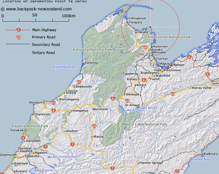
Map showing location of Separation Point / Te Matau
LINZ description: A coastal point between Whariwharangi Bay and Mutton Cove extending into Golden Bay / Mohua approximately 18 km northeast of Takaka. Feature shown on: NZMS260 N25; Infomap 346-02 Te Wai Pounamu Edition 1 1995; NZTopo50-BN25 998854
Latitude: -40.782583
Longitude: 172.997778
Northing: 5485377.8
Easting: 1599812.5
Land District: Nelson
Feat Type: Point
Latitude: -40.782583
Longitude: 172.997778
Northing: 5485377.8
Easting: 1599812.5
Land District: Nelson
Feat Type: Point

Scroll down to see a more detailed road map and below that a topographical map showing the location of Separation Point / Te Matau. The road map has been supplied by openstreetmap and the topographical map of Separation Point / Te Matau has been supplied by Land Information New Zealand (LINZ).
Yes you can use the top static map for you school/university project or personal website with a link back. Contact me for any commercial use.
[ A ] [ B ] [ C ] [ D ] [ E ] [ F ] [ G ] [ H ] [ I ] [ J ] [ K ] [ L ] [ M ] [ N ] [ O ] [ P ] [ Q ] [ R ] [ S ] [ T ] [ U ] [ V ] [ W ] [ X ] [ Y ] [ Z ]