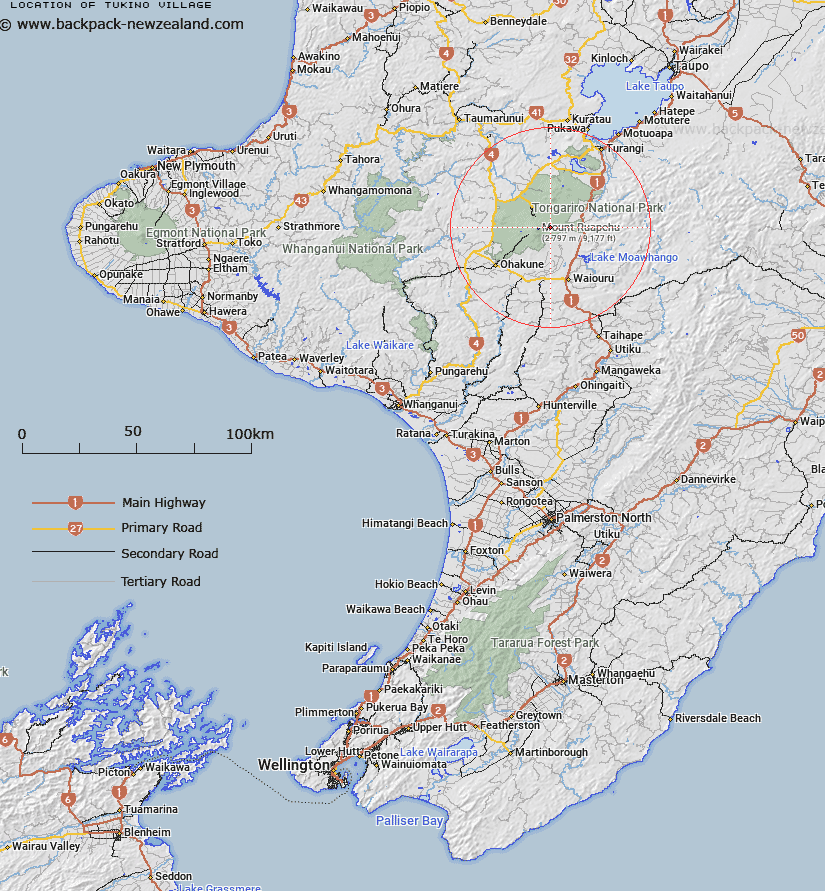
Map showing location of Tukino Village
LINZ description: On the eastern side of Mount Ruapehu, with access from the Desert Road
Latitude: -39.277982
Longitude: 175.611252
Northing: 5649124.1
Easting: 1825241.1
Land District: Wellington
Feat Type: Village
Latitude: -39.277982
Longitude: 175.611252
Northing: 5649124.1
Easting: 1825241.1
Land District: Wellington
Feat Type: Village

Scroll down to see a more detailed road map and below that a topographical map showing the location of Tukino Village. The road map has been supplied by openstreetmap and the topographical map of Tukino Village has been supplied by Land Information New Zealand (LINZ).
Yes you can use the top static map for you school/university project or personal website with a link back. Contact me for any commercial use.
[ A ] [ B ] [ C ] [ D ] [ E ] [ F ] [ G ] [ H ] [ I ] [ J ] [ K ] [ L ] [ M ] [ N ] [ O ] [ P ] [ Q ] [ R ] [ S ] [ T ] [ U ] [ V ] [ W ] [ X ] [ Y ] [ Z ]