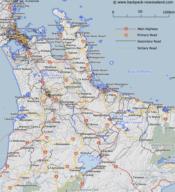
Map showing location of Pukemoe
LINZ description: Settlement on the Mokau River south west of Ohinewhiro.
Latitude: -38.694334
Longitude: 174.802998
Northing: 5715600
Easting: 1756800
Land District: South Auckland
Feat Type: Village
Latitude: -38.694334
Longitude: 174.802998
Northing: 5715600
Easting: 1756800
Land District: South Auckland
Feat Type: Village

Scroll down to see a more detailed road map and below that a topographical map showing the location of Pukemoe. The road map has been supplied by openstreetmap and the topographical map of Pukemoe has been supplied by Land Information New Zealand (LINZ).
Yes you can use the top static map for you school/university project or personal website with a link back. Contact me for any commercial use.
[ A ] [ B ] [ C ] [ D ] [ E ] [ F ] [ G ] [ H ] [ I ] [ J ] [ K ] [ L ] [ M ] [ N ] [ O ] [ P ] [ Q ] [ R ] [ S ] [ T ] [ U ] [ V ] [ W ] [ X ] [ Y ] [ Z ]