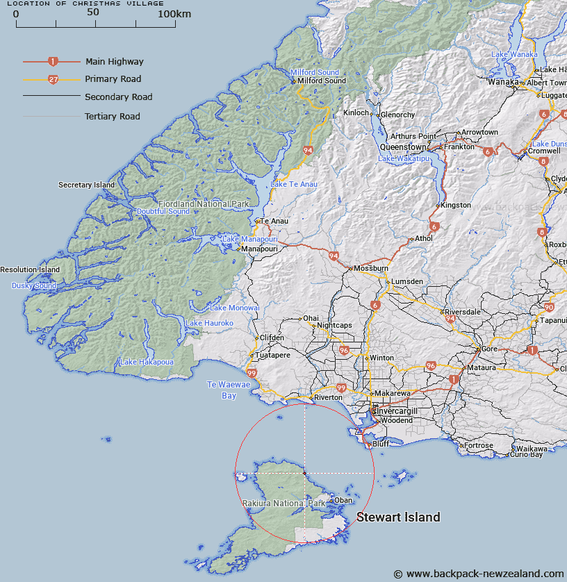
Map showing location of Christmas Village
LINZ description: Locality on north eastern coast of Stewart Island at Christmas Village Bay, facing out to Foveaux Strait.
Latitude: -46.751562
Longitude: 167.9811
Northing: 4810200
Easting: 1216700
Land District: Southland
Feat Type: Village
Latitude: -46.751562
Longitude: 167.9811
Northing: 4810200
Easting: 1216700
Land District: Southland
Feat Type: Village

Scroll down to see a more detailed road map and below that a topographical map showing the location of Christmas Village. The road map has been supplied by openstreetmap and the topographical map of Christmas Village has been supplied by Land Information New Zealand (LINZ).
Yes you can use the top static map for you school/university project or personal website with a link back. Contact me for any commercial use.
[ A ] [ B ] [ C ] [ D ] [ E ] [ F ] [ G ] [ H ] [ I ] [ J ] [ K ] [ L ] [ M ] [ N ] [ O ] [ P ] [ Q ] [ R ] [ S ] [ T ] [ U ] [ V ] [ W ] [ X ] [ Y ] [ Z ]