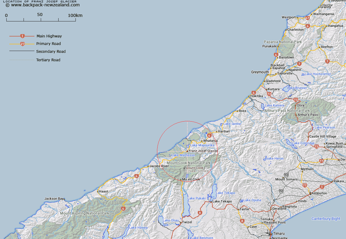
Map showing location of Franz Josef Glacier
LINZ description: Feature shown on: NZMS260-H35 818538; NZTopo50-BW15 717922;
Latitude: -43.388208
Longitude: 170.182283
Northing: 5192217.3
Easting: 1371778.4
Land District: Westland
Feat Type: Village
Latitude: -43.388208
Longitude: 170.182283
Northing: 5192217.3
Easting: 1371778.4
Land District: Westland
Feat Type: Village

Scroll down to see a more detailed road map and below that a topographical map showing the location of Franz Josef Glacier. The road map has been supplied by openstreetmap and the topographical map of Franz Josef Glacier has been supplied by Land Information New Zealand (LINZ).
Yes you can use the top static map for you school/university project or personal website with a link back. Contact me for any commercial use.
[ A ] [ B ] [ C ] [ D ] [ E ] [ F ] [ G ] [ H ] [ I ] [ J ] [ K ] [ L ] [ M ] [ N ] [ O ] [ P ] [ Q ] [ R ] [ S ] [ T ] [ U ] [ V ] [ W ] [ X ] [ Y ] [ Z ]