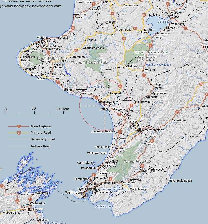
Map showing location of Pauri Village
LINZ description: Name for village located close to Kaitoke Youth Centre
Latitude: -39.981636
Longitude: 175.093831
Northing: 5572181.4
Easting: 1778783.7
Land District: Wellington
Feat Type: Village
Latitude: -39.981636
Longitude: 175.093831
Northing: 5572181.4
Easting: 1778783.7
Land District: Wellington
Feat Type: Village

Scroll down to see a more detailed road map and below that a topographical map showing the location of Pauri Village. The road map has been supplied by openstreetmap and the topographical map of Pauri Village has been supplied by Land Information New Zealand (LINZ).
Yes you can use the top static map for you school/university project or personal website with a link back. Contact me for any commercial use.
[ A ] [ B ] [ C ] [ D ] [ E ] [ F ] [ G ] [ H ] [ I ] [ J ] [ K ] [ L ] [ M ] [ N ] [ O ] [ P ] [ Q ] [ R ] [ S ] [ T ] [ U ] [ V ] [ W ] [ X ] [ Y ] [ Z ]