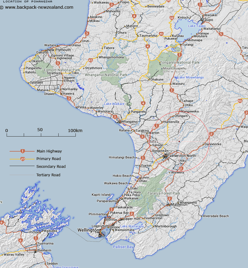
Map showing location of Pohangina
LINZ description: Adopted as well established. The correct form is Pouhangina
Latitude: -40.17405
Longitude: 175.786903
Northing: 5549200
Easting: 1837300
Land District: Wellington
Feat Type: Village
Latitude: -40.17405
Longitude: 175.786903
Northing: 5549200
Easting: 1837300
Land District: Wellington
Feat Type: Village

Scroll down to see a more detailed road map and below that a topographical map showing the location of Pohangina. The road map has been supplied by openstreetmap and the topographical map of Pohangina has been supplied by Land Information New Zealand (LINZ).
Yes you can use the top static map for you school/university project or personal website with a link back. Contact me for any commercial use.
[ A ] [ B ] [ C ] [ D ] [ E ] [ F ] [ G ] [ H ] [ I ] [ J ] [ K ] [ L ] [ M ] [ N ] [ O ] [ P ] [ Q ] [ R ] [ S ] [ T ] [ U ] [ V ] [ W ] [ X ] [ Y ] [ Z ]