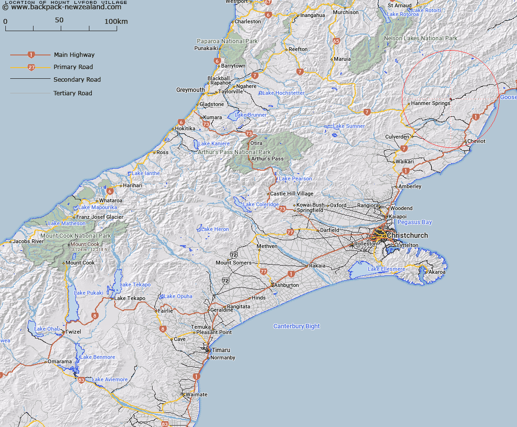
Map showing location of Mount Lyford Village
LINZ description: Alpine village approximately 26 km north east of Waiau
Latitude: -42.490045
Longitude: 173.159408
Northing: 5295800
Easting: 1613100
Land District: Canterbury
Feat Type: Village
Latitude: -42.490045
Longitude: 173.159408
Northing: 5295800
Easting: 1613100
Land District: Canterbury
Feat Type: Village

Scroll down to see a more detailed road map and below that a topographical map showing the location of Mount Lyford Village. The road map has been supplied by openstreetmap and the topographical map of Mount Lyford Village has been supplied by Land Information New Zealand (LINZ).
Yes you can use the top static map for you school/university project or personal website with a link back. Contact me for any commercial use.
[ A ] [ B ] [ C ] [ D ] [ E ] [ F ] [ G ] [ H ] [ I ] [ J ] [ K ] [ L ] [ M ] [ N ] [ O ] [ P ] [ Q ] [ R ] [ S ] [ T ] [ U ] [ V ] [ W ] [ X ] [ Y ] [ Z ]