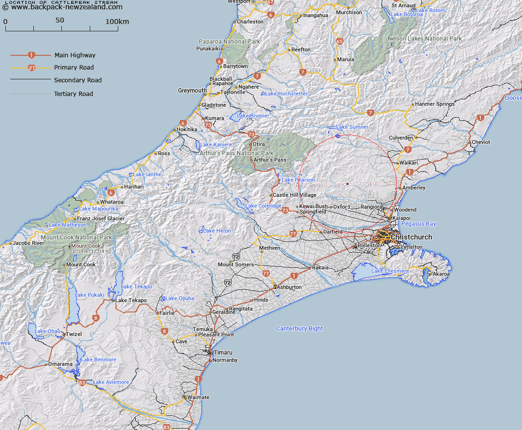
Map showing location of Cattlepeak Stream


LINZ description: Tributary on South Branch Okuru River, northwest of Mt Thomas, just north of Pinchgut Stream.
Latitude: -43.123133
Longitude: 172.319168
Northing: 5225286.4
Easting: 1544617.4
Land District: Canterbury
Feat Type: Stream


Scroll down to see a more detailed road map and below that a topographical map showing the location of Cattlepeak Stream. The road map has been supplied by openstreetmap and the topographical map of Cattlepeak Stream has been supplied by Land Information New Zealand (LINZ).

Yes you can use the top static map for you school/university project or personal website with a link back. Contact me for any commercial use.

Cattlepeak Stream Map New Zealand


New Zealand places in our database
[ A ] [ B ] [ C ] [ D ] [ E ] [ F ] [ G ] [ H ] [ I ] [ J ] [ K ] [ L ] [ M ] [ N ] [ O ] [ P ] [ Q ] [ R ] [ S ] [ T ] [ U ] [ V ] [ W ] [ X ] [ Y ] [ Z ]


Closest 20 Streams to Cattlepeak Stream

Pinchgut Stream ( 1.82km )   Okuku River South Branch ( 1.83km )   Whare Stream ( 2.95km )   Retreat Stream ( 2.98km )   Tapley Stream ( 3.01km )   Gorge Stream ( 3.67km )   Pioneer Stream ( 4.6km )   Round Hill Stream ( 5.1km )   Blowhard Stream ( 5.72km )   Garry River ( 6.23km )   Duck Creek ( 6.57km )   Fox Creek ( 6.64km )   Okuku Downs Stream ( 7.34km )   Maori Stream ( 7.45km )   Ribbonwood Stream ( 7.54km )   Firewood Stream ( 7.98km )   Bald Hills Stream ( 8.87km )   Kowhai Stream ( 8.95km )   Rocky Stream ( 9.58km )   Wharfedale Stream ( 9.67km )   Pancake Stream ( 9.8km )   Glentui River ( 9.93km )   Hut Stream ( 10.23km )   Washpool Stream ( 10.27km )   Dorman Stream ( 10.33km )   Long Spur Stream ( 10.67km )   Karetu River ( 11.37km )   Cascade Stream ( 11.38km )   Birds Eye Stream ( 11.42km )   Nicholls Stream ( 11.49km )   Broom Stream ( 11.55km )   Richardson Stream ( 12.08km )   Kingsdown Stream ( 12.14km )   Mount Thomas Stream ( 12.19km )   Fraser Stream ( 12.29km )   Dog Leg Stream ( 12.48km )   Punanui Stream ( 12.85km )   Ashley River ( 12.86km )   Ashley River/Rakahuri ( 12.86km )   Bullock Creek ( 13.12km )