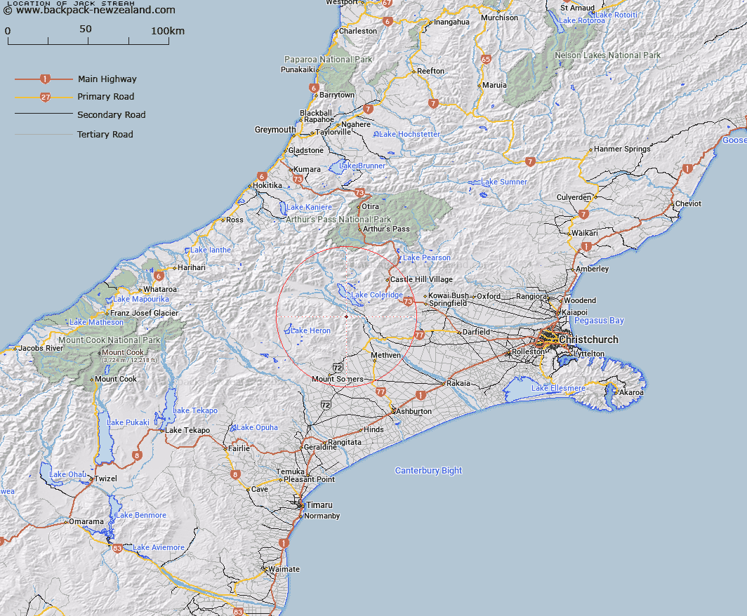
Map showing location of Jack Stream


LINZ description: Stream rising approximately 1 1/2 mile south of Cone Hill flowing north-west into Rescliffe Stream opposite Redcliffe Hill
Latitude: -43.401845
Longitude: 171.493312
Northing: 5193457
Easting: 1477994.9
Land District: Canterbury
Feat Type: Stream


Scroll down to see a more detailed road map and below that a topographical map showing the location of Jack Stream. The road map has been supplied by openstreetmap and the topographical map of Jack Stream has been supplied by Land Information New Zealand (LINZ).

Yes you can use the top static map for you school/university project or personal website with a link back. Contact me for any commercial use.

Jack Stream Map New Zealand


New Zealand places in our database
[ A ] [ B ] [ C ] [ D ] [ E ] [ F ] [ G ] [ H ] [ I ] [ J ] [ K ] [ L ] [ M ] [ N ] [ O ] [ P ] [ Q ] [ R ] [ S ] [ T ] [ U ] [ V ] [ W ] [ X ] [ Y ] [ Z ]


Closest 20 Streams to Jack Stream

Jack Stream ( 0km )   Redcliffe Stream ( 1.38km )   Packers Creek ( 2.63km )   McCracken Stream ( 3.41km )   Hutt Stream ( 5.32km )   Snowy Stream ( 6.24km )   Donald Stream ( 8.01km )   Little River ( 8.05km )   Comyns Stream ( 8.18km )   Swift River ( 8.42km )   Middle Creek ( 8.46km )   Cardinal Stream ( 9.2km )   Ensor Stream ( 9.51km )   Dry Acheron Stream ( 9.88km )   Turtons Stream ( 10.54km )   Pudding Hill Stream ( 10.93km )   Acheron River ( 11.02km )   McLennan Creek ( 11.12km )   Coleridge Stream ( 11.46km )   Glenrock Stream ( 12.3km )   Scamander Stream ( 12.64km )   Simois Stream ( 12.96km )   Kings Drive Stream ( 12.98km )   Petticoat Lane ( 13.66km )   Barnard Stream ( 14km )   Waterfall Creek ( 14.38km )   Ben More Stream ( 14.52km )   Gerard Stream ( 14.53km )   Ford Stream ( 14.92km )   Boundary Creek ( 15.3km )   Logan Stream ( 15.36km )   Ribbonwood Stream ( 15.46km )   Round Hill Creek ( 15.65km )   Hennah Stream ( 16.16km )   Campbells Stream ( 16.19km )   Glenariffe Stream ( 16.43km )   Five Mile Creek ( 16.71km )   Rakaia River ( 17.01km )   Grahams Creek ( 17.15km )   Colonel Stream ( 17.36km )