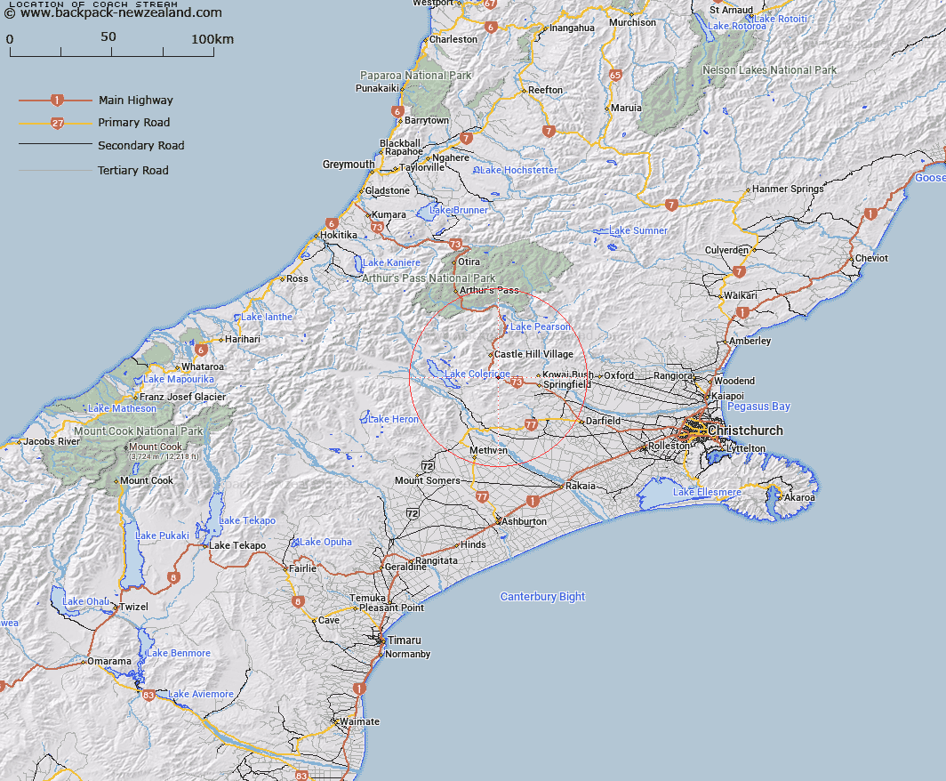
Map showing location of Coach Stream


LINZ description: Right bank tributary of Kowai River in Porters Pass vicinity, rising 1.5km North-east of Trig. M (Geodetic Code AA49), and joining Kowai River 2km upstream of Macfarlane Stream. Block V Kowai Survey District.
Latitude: -43.304224
Longitude: 171.750643
Northing: 5204642.9
Easting: 1498670.3
Land District: Canterbury
Feat Type: Stream


Scroll down to see a more detailed road map and below that a topographical map showing the location of Coach Stream. The road map has been supplied by openstreetmap and the topographical map of Coach Stream has been supplied by Land Information New Zealand (LINZ).

Yes you can use the top static map for you school/university project or personal website with a link back. Contact me for any commercial use.

Coach Stream Map New Zealand


New Zealand places in our database
[ A ] [ B ] [ C ] [ D ] [ E ] [ F ] [ G ] [ H ] [ I ] [ J ] [ K ] [ L ] [ M ] [ N ] [ O ] [ P ] [ Q ] [ R ] [ S ] [ T ] [ U ] [ V ] [ W ] [ X ] [ Y ] [ Z ]


Closest 20 Streams to Coach Stream

Macfarlane Stream ( 1.19km )   Kowai River ( 1.94km )   Parker Stream ( 2.39km )   Foggy Stream ( 3.01km )   Dry Stream ( 5.85km )   Thirteen Mile Bush Stream ( 6.12km )   Ghost Creek ( 6.66km )   Porter River ( 7.3km )   Rubicon River ( 7.74km )   Hawkins River ( 8.69km )   Blackley Stream ( 8.9km )   Camp Stream ( 9.09km )   Adams Stream ( 9.09km )   Little Kowai River ( 9.21km )   Enys Stream ( 9.32km )   Selwyn River North Branch ( 9.45km )   Ben More Stream ( 9.72km )   Whitewater Stream ( 10km )   Emu Stream ( 10.15km )   Thomas River ( 10.83km )   Otarama Stream ( 11.85km )   Coleridge Stream ( 12.23km )   Flock Hill Stream ( 12.3km )   Acheron River ( 12.58km )   Bush Stream ( 12.65km )   Hogs Back Creek ( 12.69km )   Iron Creek ( 13.23km )   Lansdowne Creek ( 13.4km )   Goldney River ( 13.79km )   Ayrdale Stream ( 13.83km )   Long Creek ( 13.9km )   Joyces Stream ( 13.95km )   Paterson Stream ( 14km )   Patterson Stream ( 14km )   Scamander Stream ( 14.04km )   Milliken Stream ( 14.14km )   Ede Stream ( 14.63km )   Waterfall Creek ( 15.1km )   Ford Stream ( 15.31km )   Tims Stream ( 15.43km )