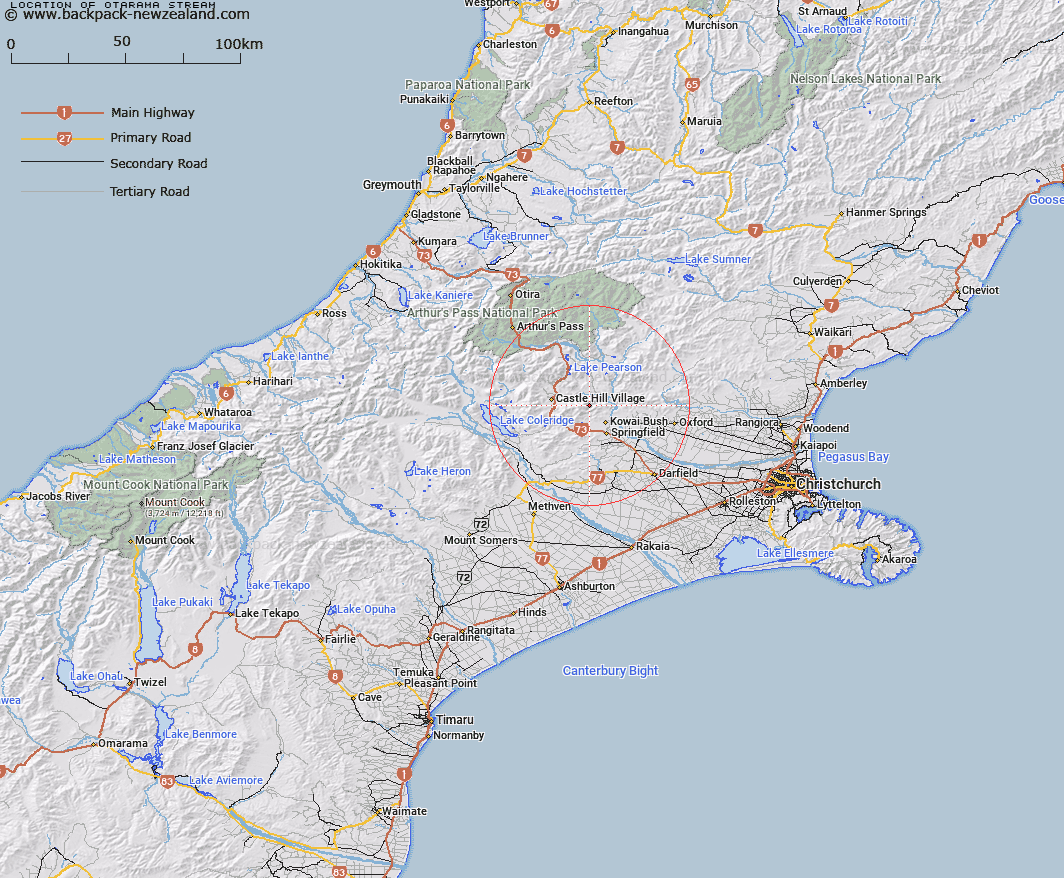
Map showing location of Otarama Stream


LINZ description: Left bank tributary of Staircase Gully rising on the eastern slopes of Otarama Peak , flowing eastward and joining Staircase Gully 3.75km upstream of Waimakariri River. Blocks II and III Kowai Survey District.
Latitude: -43.234233
Longitude: 171.861002
Northing: 5212543.7
Easting: 1507515.2
Land District: Canterbury
Feat Type: Stream


Scroll down to see a more detailed road map and below that a topographical map showing the location of Otarama Stream. The road map has been supplied by openstreetmap and the topographical map of Otarama Stream has been supplied by Land Information New Zealand (LINZ).

Yes you can use the top static map for you school/university project or personal website with a link back. Contact me for any commercial use.

Otarama Stream Map New Zealand


New Zealand places in our database
[ A ] [ B ] [ C ] [ D ] [ E ] [ F ] [ G ] [ H ] [ I ] [ J ] [ K ] [ L ] [ M ] [ N ] [ O ] [ P ] [ Q ] [ R ] [ S ] [ T ] [ U ] [ V ] [ W ] [ X ] [ Y ] [ Z ]


Closest 20 Streams to Otarama Stream

Lansdowne Creek ( 2.85km )   Ede Stream ( 3.26km )   Iron Creek ( 4.01km )   Patterson Stream ( 4.57km )   Paterson Stream ( 4.57km )   Blakistons Stream ( 4.9km )   Emu Stream ( 4.91km )   Rocky Stream ( 4.99km )   Truscotts Stream ( 4.99km )   Chasm Stream ( 5.03km )   Joyces Stream ( 5.48km )   Nomans Stream ( 5.9km )   Blackley Stream ( 6.45km )   Little Kowai River ( 6.49km )   Milliken Stream ( 6.6km )   Waterfall Creek ( 6.81km )   Waterfall Stream ( 6.82km )   Adams Stream ( 7.39km )   Camp Stream ( 7.39km )   Kinnebrooks Stream ( 7.89km )   Puffers Stream ( 8.07km )   Flock Hill Stream ( 8.3km )   Rubicon River ( 8.34km )   Foggy Stream ( 8.98km )   Ghost Creek ( 9.17km )   Winding Creek ( 9.77km )   Foster Stream ( 9.91km )   Kowai River ( 10.26km )   Rata Stream ( 10.45km )   Coal Creek ( 10.78km )   Coach Stream ( 11.85km )   Broadleaf Stream ( 11.86km )   Dry Stream ( 12.07km )   Bernard Stream ( 12.33km )   Ayrdale Stream ( 12.42km )   Thomas River ( 12.46km )   Eyre River ( 12.63km )   Parker Stream ( 12.64km )   Macfarlane Stream ( 12.71km )   Hogs Back Creek ( 13.7km )