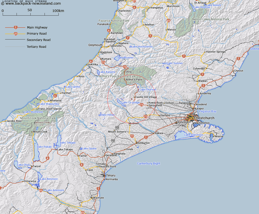
Map showing location of Enys Stream
LINZ description: Right bank tributary of Whitewater Stream rising South-east of Carn Brea in the Craigieburn Range, flowing North-eastward South of Dead Man Spur and joining Whitewater Stream 3.4km upstream of Porter River. Block III, Coleridge Survey District.
Latitude: -43.238967
Longitude: 171.678445
Northing: 5211800
Easting: 1492700
Land District: Canterbury
Feat Type: Stream
Latitude: -43.238967
Longitude: 171.678445
Northing: 5211800
Easting: 1492700
Land District: Canterbury
Feat Type: Stream

Scroll down to see a more detailed road map and below that a topographical map showing the location of Enys Stream. The road map has been supplied by openstreetmap and the topographical map of Enys Stream has been supplied by Land Information New Zealand (LINZ).
Yes you can use the top static map for you school/university project or personal website with a link back. Contact me for any commercial use.
[ A ] [ B ] [ C ] [ D ] [ E ] [ F ] [ G ] [ H ] [ I ] [ J ] [ K ] [ L ] [ M ] [ N ] [ O ] [ P ] [ Q ] [ R ] [ S ] [ T ] [ U ] [ V ] [ W ] [ X ] [ Y ] [ Z ]