Map showing location of Puketarata-Parihamore Historic Reserve


LINZ description: No details provided by OTS and DOC
Latitude: -39.061389
Longitude: 174.093056
Northing: 5675842.5
Easting: 1694568.9
Land District: Taranaki
Feat Type: Historic Reserve
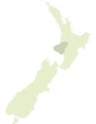

Scroll down to see a more detailed road map and below that a topographical map showing the location of Puketarata-Parihamore Historic Reserve. The road map has been supplied by openstreetmap and the topographical map of Puketarata-Parihamore Historic Reserve has been supplied by Land Information New Zealand (LINZ).

Yes you can use the top static map for you school/university project or personal website with a link back. Contact me for any commercial use.
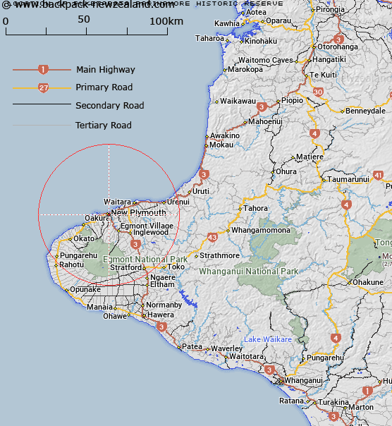
Puketarata-Parihamore Historic Reserve Map New Zealand


New Zealand places in our database
[ A ] [ B ] [ C ] [ D ] [ E ] [ F ] [ G ] [ H ] [ I ] [ J ] [ K ] [ L ] [ M ] [ N ] [ O ] [ P ] [ Q ] [ R ] [ S ] [ T ] [ U ] [ V ] [ W ] [ X ] [ Y ] [ Z ]


Closest 20 Historic Reserves to Puketarata-Parihamore Historic Reserve

Marsland Hill Historic Reserve ( 1.69km )   Omata Stockade Historic Reserve ( 6.32km )   Taumata Historic Reserve ( 7.01km )   Sentry Hill Redoubt Historic Reserve ( 9.3km )   Mahoetahi Historic Reserve ( 9.88km )   Te Koru Pa Historic Reserve ( 11.72km )   Puketakauere Pa Historic Reserve ( 12.84km )   Pukerangiora Pa Historic Reserve ( 14.75km )   Awa te Take Pa Historic Reserve ( 16.51km )   Tataraimaka Urup? Historic Reserve ( 19.24km )   Tataraimaka Pa Historic Reserve ( 19.24km )   St George's Redoubt Historic Reserve ( 19.37km )   Tataraimaka / St George’s Redoubt Historic Reserve ( 19.37km )   Tapuinikau Pa Historic Reserve ( 30.44km )   Pou Tehia Historic Reserve ( 51.32km )   Kawau Pa Historic Reserve ( 54.77km )   Puketapu Historic Reserve ( 102.37km )   Moutoa Gardens Historic Reserve ( 127.3km )   Puraho Historic Reserve ( 133.2km )   Kakepuku Mountain Historic Reserve ( 149.32km )   Paterangi Historic Reserve ( 156.29km )   Selwyn Park Historic Reserve ( 158.84km )   Tikirere Mill Race Historic Reserve ( 163.82km )   Gudex Memorial Park Historic Reserve ( 183.12km )   Opepe Bush Scenic & Historic Reserve ( 186.92km )   Rangiriri Pa Historic Reserve ( 202.94km )   Te Wheoro's Redoubt Historic Reserve ( 202.98km )   Taniwha Pa Historic Reserve ( 210.59km )   Cameron Town Historic Reserve ( 211.42km )   Meremere Pa Site Historic Reserve ( 211.8km )   Whangamarino Redoubt Historic Reserve ( 214.11km )   Waiau Pa Historic Reserve ( 219km )   Parapara Peninsula Historic Reserve ( 219.75km )   Shield's Flat Stone Walls Historic Reserve ( 221.12km )   Ship Cove Historic Reserve ( 226.85km )   Pratts Road Historic Reserve ( 227.34km )   Maungaruahine Pa Historic Reserve ( 232.39km )   Gate Pa Historic Reserve ( 232.73km )   Gerald Crapp Historic Reserve ( 233.72km )   Victoria Battery Historic Reserve ( 234.9km )