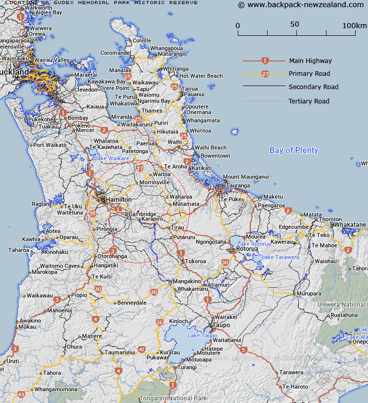
Map showing location of Gudex Memorial Park Historic Reserve


LINZ description: Shown in the Ngāti Hauā Deed of Settlement Plan OTS-190-22. Conservation Unit Number T15502 (NaPALIS 2792398). Described as 2.8328 hectares, more or less, being Lot 1 DPS 6105. NZTopo50-BD34 229065.
Latitude: -37.861667
Longitude: 175.533889
Northing: 5806506.9
Easting: 1822904
Land District: South Auckland
Feat Type: Historic Reserve


Scroll down to see a more detailed road map and below that a topographical map showing the location of Gudex Memorial Park Historic Reserve. The road map has been supplied by openstreetmap and the topographical map of Gudex Memorial Park Historic Reserve has been supplied by Land Information New Zealand (LINZ).

Yes you can use the top static map for you school/university project or personal website with a link back. Contact me for any commercial use.

Gudex Memorial Park Historic Reserve Map New Zealand


New Zealand places in our database
[ A ] [ B ] [ C ] [ D ] [ E ] [ F ] [ G ] [ H ] [ I ] [ J ] [ K ] [ L ] [ M ] [ N ] [ O ] [ P ] [ Q ] [ R ] [ S ] [ T ] [ U ] [ V ] [ W ] [ X ] [ Y ] [ Z ]


Closest 20 Historic Reserves to Gudex Memorial Park Historic Reserve

Selwyn Park Historic Reserve ( 24.38km )   Paterangi Historic Reserve ( 29.93km )   Kakepuku Mountain Historic Reserve ( 33.92km )   Gerald Crapp Historic Reserve ( 52.53km )   Taniwha Pa Historic Reserve ( 54.04km )   Victoria Battery Historic Reserve ( 54.24km )   Kauri Point Historic Reserve ( 54.92km )   Gate Pa Historic Reserve ( 55.62km )   Te Wheoro's Redoubt Historic Reserve ( 59.61km )   Rangiriri Pa Historic Reserve ( 59.96km )   Maungaruahine Pa Historic Reserve ( 64.07km )   Puraho Historic Reserve ( 64.48km )   Meremere Pa Site Historic Reserve ( 72.93km )   Whangamarino Redoubt Historic Reserve ( 75.72km )   Smith Historic Reserve ( 77.43km )   Puketapu Historic Reserve ( 86.09km )   Cameron Town Historic Reserve ( 88.06km )   Pratts Road Historic Reserve ( 93.33km )   Sailors Grave Historic Reserve ( 103.68km )   Waiau Pa Historic Reserve ( 107.6km )   Te Puia Block Historic Reserve ( 109.62km )   St Johns Redoubt Historic Reserve ( 112.09km )   Wiri Historic Reserve ( 112.34km )   Te Pare Point Historic Reserve ( 115.93km )   Wigmore Historic Reserve ( 116.31km )   Opepe Bush Scenic & Historic Reserve ( 117.04km )   Fort Galatea Historic Reserve ( 119.57km )   School Of Mines Historic Reserve ( 123.15km )   Stony Batter Historic Reserve ( 126.22km )   Bald Spur Historic Reserve ( 126.62km )   Opera Point Historic Reserve ( 127.26km )   Kawau Pa Historic Reserve ( 129.46km )   Opito Point Historic Reserve ( 129.58km )   Matietie Historic Reserve ( 130.05km )   Maungauika / North Head Historic Reserve ( 131.5km )   North Head Historic Reserve ( 131.5km )   Fort Takapuna Historic Reserve ( 133.21km )   Pou Tehia Historic Reserve ( 134.04km )   Paparoa Pa Historic Reserve ( 137.24km )   Matekerepu Historic Reserve ( 140.93km )