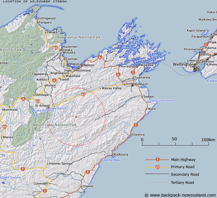
Map showing location of Wildsheep Stream


LINZ description: Right bank tributary of Gordon Stream, rising 1km South-east of Waihopai Saddle, flowing South-westward and joining Gordon Stream 1.8km North by North-west of Saxton Saddle. Blocks IV and V Molesworth Survey District.
Latitude: -41.926294
Longitude: 173.206347
Northing: 5358386.6
Easting: 1617108.9
Land District: Marlborough
Feat Type: Stream


Scroll down to see a more detailed road map and below that a topographical map showing the location of Wildsheep Stream. The road map has been supplied by openstreetmap and the topographical map of Wildsheep Stream has been supplied by Land Information New Zealand (LINZ).

Yes you can use the top static map for you school/university project or personal website with a link back. Contact me for any commercial use.

Wildsheep Stream Map New Zealand


New Zealand places in our database
[ A ] [ B ] [ C ] [ D ] [ E ] [ F ] [ G ] [ H ] [ I ] [ J ] [ K ] [ L ] [ M ] [ N ] [ O ] [ P ] [ Q ] [ R ] [ S ] [ T ] [ U ] [ V ] [ W ] [ X ] [ Y ] [ Z ]


Closest 20 Streams to Wildsheep Stream

Waihopai Saddle Stream ( 1.39km )   Gordon Stream ( 3.48km )   Cow Stream ( 5.94km )   Leatham River ( 6.27km )   Cat Stream ( 6.48km )   Spaniard Stream ( 6.78km )   Hut Stream ( 6.82km )   Orr Stream ( 6.89km )   Barber Stream ( 6.91km )   Oyster Stream ( 7.87km )   Flat Stream ( 7.99km )   Bobs Stream ( 8.13km )   Waterfall Stream ( 8.93km )   Weka Stream ( 9.55km )   Hot Rock Stream ( 9.71km )   Team Stream ( 10.54km )   Blue Mountain Stream ( 10.8km )   Hand Setting Stream ( 10.88km )   Little Cave Stream ( 11.24km )   Whip Stream ( 11.32km )   Noisy Stream ( 11.77km )   Cave Stream ( 11.82km )   Greig Stream ( 12.03km )   Branch River ( 12.05km )   Krushen Stream ( 12.08km )   Henry Stream ( 12.84km )   Glazebrook Stream ( 13.37km )   Little Siberia Stream ( 13.46km )   Siberia Stream ( 13.48km )   Scott Stream ( 13.91km )   Pinnacle Stream ( 13.96km )   Awatere-iti Stream ( 14.38km )   Saxton River ( 14.72km )   Munroe Stream ( 14.85km )   Goosey Stream ( 14.93km )   McCallum Stream ( 15.01km )   Lost Stream ( 15.04km )   Kennet River ( 15.05km )   Misery Stream ( 15.25km )   Little Misery Stream ( 15.33km )