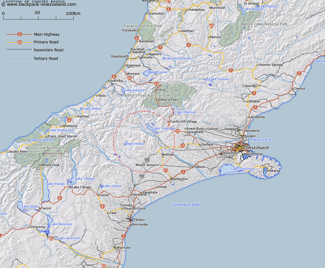
Map showing location of Cookies Basins


LINZ description: Basins on east side of the Black Hill Range opposite Turton tops between Swift River and North Branch Ashburton River.
Latitude: -43.451831
Longitude: 171.409453
Northing: 5187779.5
Easting: 1471310.2
Land District: Canterbury
Feat Type: Basin


Scroll down to see a more detailed road map and below that a topographical map showing the location of Cookies Basins. The road map has been supplied by openstreetmap and the topographical map of Cookies Basins has been supplied by Land Information New Zealand (LINZ).

Yes you can use the top static map for you school/university project or personal website with a link back. Contact me for any commercial use.

Cookies Basins Map New Zealand


New Zealand places in our database
[ A ] [ B ] [ C ] [ D ] [ E ] [ F ] [ G ] [ H ] [ I ] [ J ] [ K ] [ L ] [ M ] [ N ] [ O ] [ P ] [ Q ] [ R ] [ S ] [ T ] [ U ] [ V ] [ W ] [ X ] [ Y ] [ Z ]


Closest 20 Basins to Cookies Basins

McNulty Basin ( 27.14km )   Mistake Basin ( 35.41km )   Cattle Basin ( 35.54km )   Back Basin ( 38.06km )   Boundary Basin ( 38.63km )   Moa Basins ( 42.05km )   Sandys Basin ( 48.69km )   Scour Basin ( 52.82km )   Camp Basin ( 54.27km )   Balaclava Basins ( 56.82km )   Iliad Basin ( 58.29km )   Odyssey Basin ( 58.76km )   Mackay Basin ( 63.4km )   Tindill Basin ( 68.36km )   Stony Basin ( 69.56km )   Rochfort Basin ( 99.57km )   Lagoon Basin ( 116.03km )   Waterfall Basin ( 140.02km )   Kea Nest ( 146.18km )   Devils Hollow ( 151.71km )   Nardoo Basin ( 169.9km )   Gore Basin ( 199.43km )   Eggeling Basin ( 201.4km )   Young Basin ( 202.47km )   Gillespie Basin ( 203.98km )   4th Basin ( 207.62km )   3rd Basin ( 209.65km )   2nd Basin ( 211.09km )   1st Basin ( 212.86km )   Castle Basin ( 229.49km )   Poverty Basin ( 230.79km )   Sanctuary Basin ( 233.59km )   Zetland Basin ( 239.64km )   MacPherson Cirque ( 240.42km )   Shelter Rock Basin ( 241.66km )   Taylor Basin ( 244.4km )   Sonora Basin ( 247.36km )   Twenty Four Tarn Basin ( 249.54km )   Teme Basin ( 256.68km )   Aurum Basin ( 266.91km )