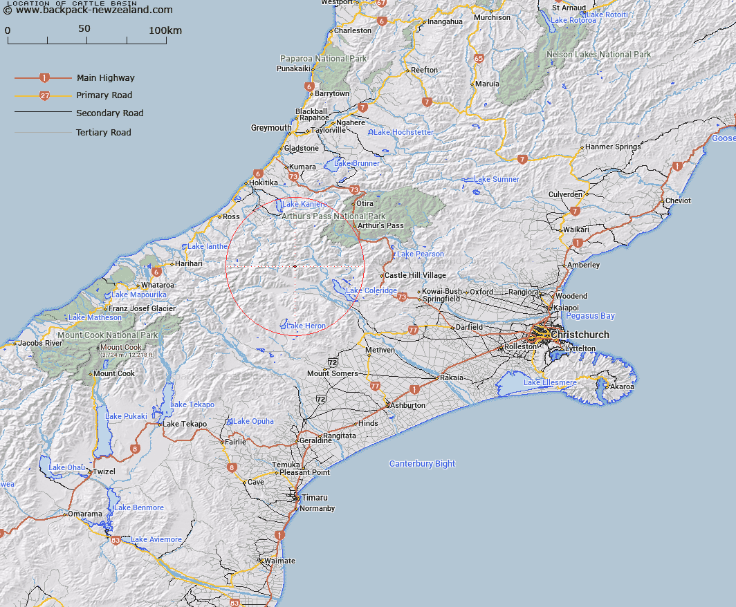
Map showing location of Cattle Basin


LINZ description: Mountain basin at head of an un-named left bank tributary of Mistake Creek, on the southern side of the Rolleston Range, 1km West South-west of Excellent Saddle. Block VI Mathias Survey District.
Latitude: -43.158695
Longitude: 171.234547
Northing: 5220049.4
Easting: 1456470.2
Land District: Canterbury
Feat Type: Basin


Scroll down to see a more detailed road map and below that a topographical map showing the location of Cattle Basin. The road map has been supplied by openstreetmap and the topographical map of Cattle Basin has been supplied by Land Information New Zealand (LINZ).

Yes you can use the top static map for you school/university project or personal website with a link back. Contact me for any commercial use.

Cattle Basin Map New Zealand


New Zealand places in our database
[ A ] [ B ] [ C ] [ D ] [ E ] [ F ] [ G ] [ H ] [ I ] [ J ] [ K ] [ L ] [ M ] [ N ] [ O ] [ P ] [ Q ] [ R ] [ S ] [ T ] [ U ] [ V ] [ W ] [ X ] [ Y ] [ Z ]


Closest 20 Basins to Cattle Basin

Mistake Basin ( 2.39km )   Boundary Basin ( 4.28km )   Moa Basins ( 7.73km )   Back Basin ( 16.06km )   McNulty Basin ( 34.13km )   Cookies Basins ( 35.54km )   Sandys Basin ( 55.84km )   Camp Basin ( 57.47km )   Balaclava Basins ( 59.94km )   Iliad Basin ( 63.1km )   Odyssey Basin ( 64.14km )   Scour Basin ( 64.78km )   Mackay Basin ( 65.95km )   Tindill Basin ( 70.19km )   Stony Basin ( 73.5km )   Rochfort Basin ( 77.45km )   Lagoon Basin ( 120.82km )   Kea Nest ( 145.13km )   Waterfall Basin ( 147.2km )   Nardoo Basin ( 151.47km )   Devils Hollow ( 168.62km )   4th Basin ( 190.27km )   3rd Basin ( 192.28km )   2nd Basin ( 193.74km )   Gore Basin ( 193.86km )   1st Basin ( 195.55km )   Eggeling Basin ( 201.48km )   Young Basin ( 205.51km )   Gillespie Basin ( 206.91km )   Castle Basin ( 207.12km )   Poverty Basin ( 208.39km )   Sanctuary Basin ( 211.2km )   Zetland Basin ( 214.16km )   Shelter Rock Basin ( 216.27km )   Taylor Basin ( 220.58km )   Twenty Four Tarn Basin ( 224.11km )   Teme Basin ( 246.16km )   MacPherson Cirque ( 246.4km )   Horseshoe Basin ( 247.88km )   Sonora Basin ( 264.11km )