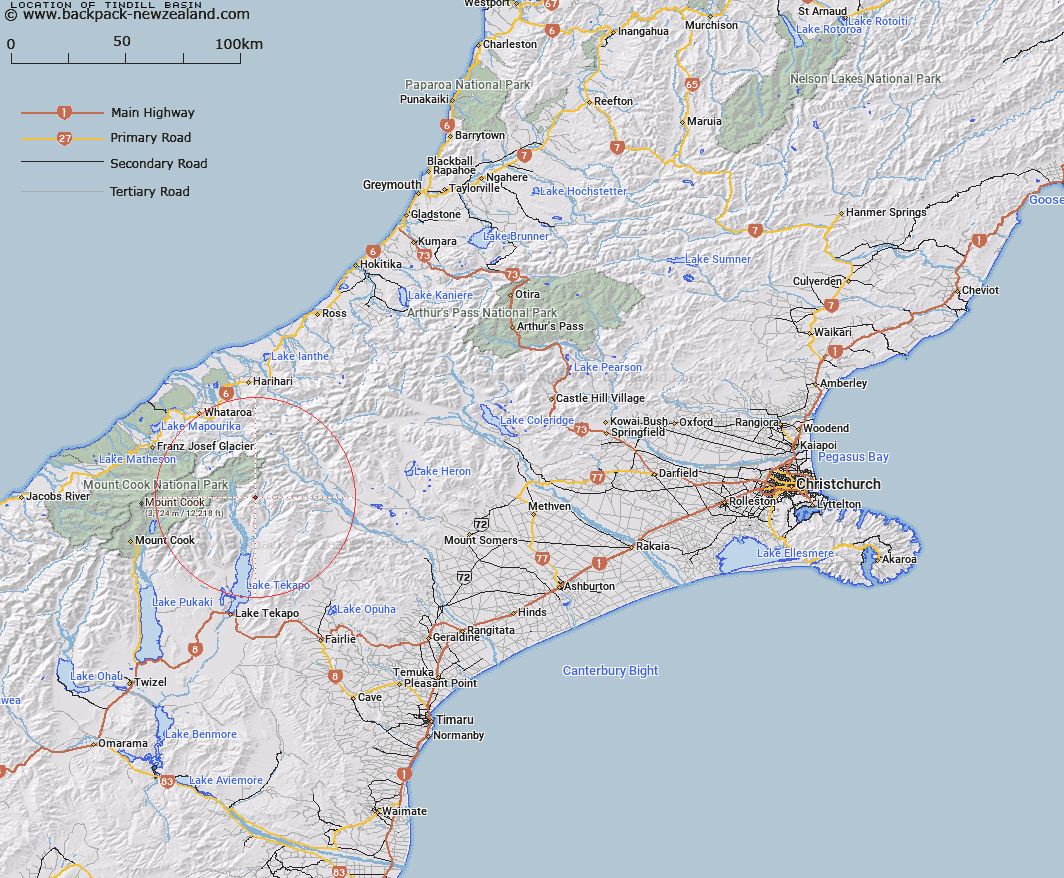
Map showing location of Tindill Basin


LINZ description: Mountain basin near head of Lower Tindill Stream, 2.8km South-east of Mount Sibbald in the Sibbald Range. Block VII Godley Survey District.
Latitude: -43.571852
Longitude: 170.578008
Northing: 5172828.7
Easting: 1404425.1
Land District: Canterbury
Feat Type: Basin


Scroll down to see a more detailed road map and below that a topographical map showing the location of Tindill Basin. The road map has been supplied by openstreetmap and the topographical map of Tindill Basin has been supplied by Land Information New Zealand (LINZ).

Yes you can use the top static map for you school/university project or personal website with a link back. Contact me for any commercial use.

Tindill Basin Map New Zealand


New Zealand places in our database
[ A ] [ B ] [ C ] [ D ] [ E ] [ F ] [ G ] [ H ] [ I ] [ J ] [ K ] [ L ] [ M ] [ N ] [ O ] [ P ] [ Q ] [ R ] [ S ] [ T ] [ U ] [ V ] [ W ] [ X ] [ Y ] [ Z ]


Closest 20 Basins to Tindill Basin

Stony Basin ( 4.8km )   Mackay Basin ( 4.97km )   Odyssey Basin ( 10.44km )   Iliad Basin ( 10.45km )   Balaclava Basins ( 11.58km )   Camp Basin ( 14.19km )   Sandys Basin ( 19.97km )   Scour Basin ( 21.5km )   Lagoon Basin ( 50.68km )   Mistake Basin ( 67.86km )   Boundary Basin ( 68.27km )   Cookies Basins ( 68.36km )   Cattle Basin ( 70.19km )   Moa Basins ( 76.53km )   Waterfall Basin ( 77.02km )   Kea Nest ( 78.03km )   Back Basin ( 85.35km )   McNulty Basin ( 91.38km )   Devils Hollow ( 103.07km )   Eggeling Basin ( 133.81km )   Young Basin ( 136.31km )   Gillespie Basin ( 137.76km )   Rochfort Basin ( 146.95km )   MacPherson Cirque ( 176.43km )   Sonora Basin ( 196.69km )   Aurum Basin ( 205.98km )   Kea Basin ( 206.6km )   Pulpit Basin ( 217.16km )   Nardoo Basin ( 221.2km )   Dead Horse Basin ( 221.96km )   Luna Basin ( 224.84km )   Scott Basin ( 226.95km )   Glacier Basin ( 228.27km )   Sleepy Hollow ( 231.32km )   Boulder Basin ( 232.92km )   Freshwater Basin ( 244.6km )   Makere Basin ( 245.29km )   Stirling Basin ( 245.29km )   Deepwater Basin ( 245.41km )   Te Motu tu o te ruru ( 245.8km )