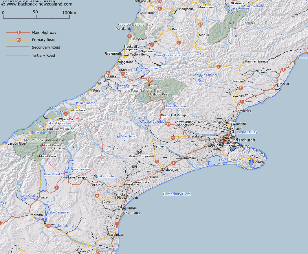
Map showing location of Stony Basin


LINZ description: Mountain basin at head of Stony Stream, a tributary of Macaulay River, 1.5km West of Trig. C (Geodetic Code B76W). Block XI Godley Survey District.
Latitude: -43.615014
Longitude: 170.576451
Northing: 5168031.4
Easting: 1404439.2
Land District: Canterbury
Feat Type: Basin


Scroll down to see a more detailed road map and below that a topographical map showing the location of Stony Basin. The road map has been supplied by openstreetmap and the topographical map of Stony Basin has been supplied by Land Information New Zealand (LINZ).

Yes you can use the top static map for you school/university project or personal website with a link back. Contact me for any commercial use.

Stony Basin Map New Zealand


New Zealand places in our database
[ A ] [ B ] [ C ] [ D ] [ E ] [ F ] [ G ] [ H ] [ I ] [ J ] [ K ] [ L ] [ M ] [ N ] [ O ] [ P ] [ Q ] [ R ] [ S ] [ T ] [ U ] [ V ] [ W ] [ X ] [ Y ] [ Z ]


Closest 20 Basins to Stony Basin

Stony Basin ( 0km )   Tindill Basin ( 4.8km )   Mackay Basin ( 7.59km )   Odyssey Basin ( 10.8km )   Iliad Basin ( 11.36km )   Balaclava Basins ( 13.76km )   Camp Basin ( 16.36km )   Scour Basin ( 19.98km )   Sandys Basin ( 20.87km )   Lagoon Basin ( 47.83km )   Cookies Basins ( 69.56km )   Mistake Basin ( 71.2km )   Boundary Basin ( 71.76km )   Cattle Basin ( 73.5km )   Waterfall Basin ( 73.78km )   Kea Nest ( 76.63km )   Moa Basins ( 80.04km )   Back Basin ( 88.41km )   McNulty Basin ( 93.35km )   Devils Hollow ( 98.59km )   Eggeling Basin ( 132km )   Young Basin ( 133.95km )   Gillespie Basin ( 135.42km )   Rochfort Basin ( 150.55km )   MacPherson Cirque ( 173.6km )   Sonora Basin ( 192.51km )   Aurum Basin ( 202.7km )   Kea Basin ( 203.78km )   Pulpit Basin ( 214.02km )   Dead Horse Basin ( 218.56km )   Luna Basin ( 221.52km )   Scott Basin ( 224.02km )   Nardoo Basin ( 224.77km )   Glacier Basin ( 225.25km )   Sleepy Hollow ( 228.26km )   Boulder Basin ( 230.26km )   Freshwater Basin ( 242.06km )   Makere Basin ( 242.85km )   Stirling Basin ( 242.85km )   Deepwater Basin ( 242.86km )