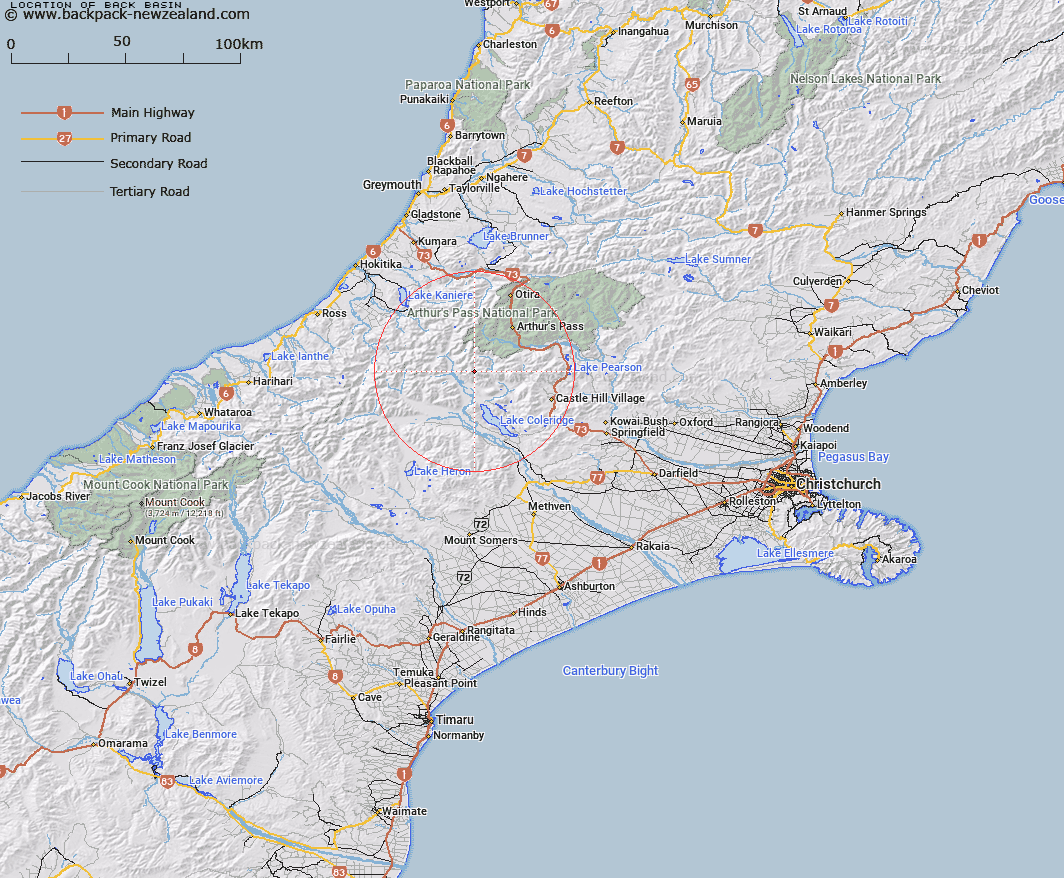
Map showing location of Back Basin


LINZ description: Basin on the south side of Basin Creek in the Birdwood Range.
Latitude: -43.109634
Longitude: 171.420677
Northing: 5225800
Easting: 1471500
Land District: Canterbury
Feat Type: Basin


Scroll down to see a more detailed road map and below that a topographical map showing the location of Back Basin. The road map has been supplied by openstreetmap and the topographical map of Back Basin has been supplied by Land Information New Zealand (LINZ).

Yes you can use the top static map for you school/university project or personal website with a link back. Contact me for any commercial use.

Back Basin Map New Zealand


New Zealand places in our database
[ A ] [ B ] [ C ] [ D ] [ E ] [ F ] [ G ] [ H ] [ I ] [ J ] [ K ] [ L ] [ M ] [ N ] [ O ] [ P ] [ Q ] [ R ] [ S ] [ T ] [ U ] [ V ] [ W ] [ X ] [ Y ] [ Z ]


Closest 20 Basins to Back Basin

Moa Basins ( 13.63km )   Cattle Basin ( 16.06km )   Mistake Basin ( 18.43km )   Boundary Basin ( 19.52km )   McNulty Basin ( 24.29km )   Cookies Basins ( 38.06km )   Rochfort Basin ( 64.47km )   Sandys Basin ( 69.73km )   Camp Basin ( 72.15km )   Balaclava Basins ( 74.7km )   Iliad Basin ( 77.65km )   Scour Basin ( 77.91km )   Odyssey Basin ( 78.62km )   Mackay Basin ( 80.93km )   Tindill Basin ( 85.35km )   Stony Basin ( 88.41km )   Lagoon Basin ( 136.03km )   Nardoo Basin ( 137.69km )   Kea Nest ( 161.02km )   Waterfall Basin ( 162.18km )   4th Basin ( 176.29km )   Gore Basin ( 177.95km )   3rd Basin ( 178.31km )   2nd Basin ( 179.77km )   1st Basin ( 181.57km )   Devils Hollow ( 181.62km )   Castle Basin ( 194.88km )   Poverty Basin ( 196.17km )   Sanctuary Basin ( 198.98km )   Zetland Basin ( 203.38km )   Shelter Rock Basin ( 205.44km )   Taylor Basin ( 209km )   Twenty Four Tarn Basin ( 213.31km )   Eggeling Basin ( 217.36km )   Young Basin ( 221.16km )   Gillespie Basin ( 222.57km )   Teme Basin ( 230.84km )   Horseshoe Basin ( 235.93km )   MacPherson Cirque ( 261.76km )   Flaxbourne Basin ( 269.45km )