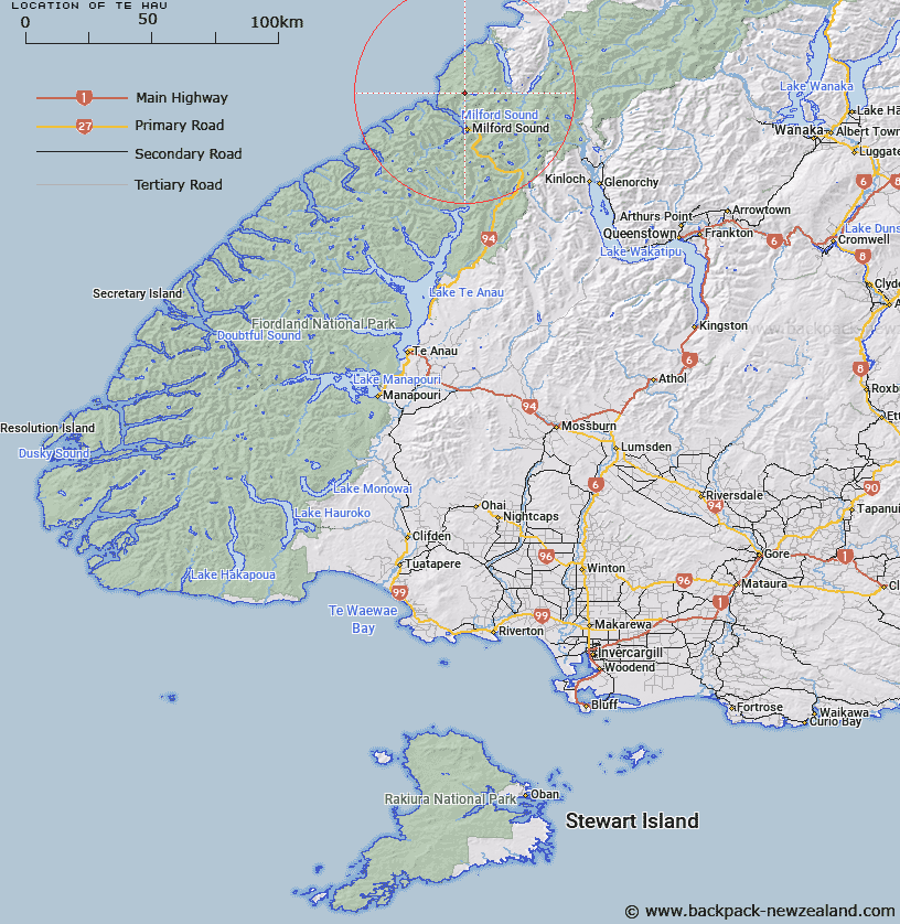
Map showing location of Te Hau


LINZ description: On dividing range between headwaters of Harrison and John o' Groats Rivers. 5,334 ft. Milford Sound Survey District.
Latitude: -44.548954
Longitude: 167.918133
Northing: 5054578.1
Easting: 1196332.6
Land District: Southland, Otago
Feat Type: Hill


Scroll down to see a more detailed road map and below that a topographical map showing the location of Te Hau. The road map has been supplied by openstreetmap and the topographical map of Te Hau has been supplied by Land Information New Zealand (LINZ).

Yes you can use the top static map for you school/university project or personal website with a link back. Contact me for any commercial use.

Te Hau Map New Zealand


New Zealand places in our database
[ A ] [ B ] [ C ] [ D ] [ E ] [ F ] [ G ] [ H ] [ I ] [ J ] [ K ] [ L ] [ M ] [ N ] [ O ] [ P ] [ Q ] [ R ] [ S ] [ T ] [ U ] [ V ] [ W ] [ X ] [ Y ] [ Z ]


Closest 20 Hills to Te Hau

Mount Pembroke ( 3.33km )   Ongaruanuku ( 4.29km )   Mitis Peak ( 4.68km )   Little Matterhorn ( 5.11km )   Troglodyte ( 5.2km )   Paranui Peak ( 5.41km )   Grave Mountain ( 5.56km )   Hupokeka ( 5.69km )   Mount Barton ( 6.32km )   Parariki Peak ( 6.33km )   Rover Peak ( 6.49km )   The Elephant ( 6.54km )   Benton Peak ( 6.65km )   Halfway Peak ( 6.88km )   Mills Peak ( 7.09km )   Mount Richardson ( 7.15km )   The Lion ( 7.28km )   Mount Terres ( 8.92km )   Mount Thunder ( 9.02km )   Mount Tutoko ( 9.02km )   Puketuroto Peak ( 9.11km )   Mount Sutherland ( 9.72km )   Alice Peak ( 10.36km )   Mitre Peak ( 10.53km )   Mount Dot ( 10.79km )   Mount McGulsh ( 11.01km )   Footstool ( 11.16km )   Mount Madeline ( 12.44km )   Mount Milne ( 12.51km )   Mount Syme ( 12.52km )   Mount Tarewai ( 12.59km )   Mount Mahere ( 12.61km )   Barren Peak ( 12.76km )   Bowen Hill ( 12.96km )   Waitiri ( 13.37km )   Mount Philipps ( 13.41km )   Mount Phillips ( 13.41km )   Devils Armchair ( 15.18km )   Mount Underwood ( 15.4km )   Patuki Mountain ( 15.72km )