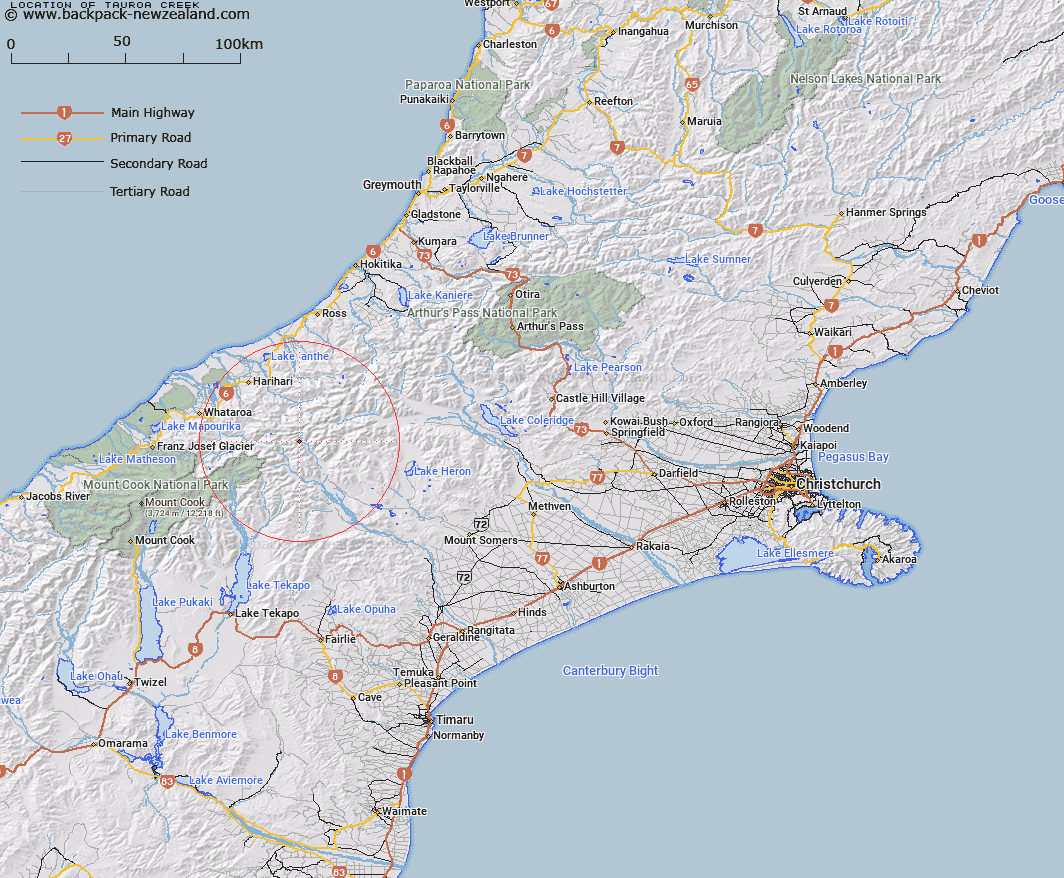
Map showing location of Tauroa Creek


LINZ description: Stream flowing from Tauroa Peak into Frances River, on the right bank, 2km above the Frances/ McCoy/ Clyde junction. Ramsay Survey District.
Latitude: -43.367594
Longitude: 170.750053
Northing: 5195904.8
Easting: 1417704.8
Land District: Canterbury
Feat Type: Stream


Scroll down to see a more detailed road map and below that a topographical map showing the location of Tauroa Creek. The road map has been supplied by openstreetmap and the topographical map of Tauroa Creek has been supplied by Land Information New Zealand (LINZ).

Yes you can use the top static map for you school/university project or personal website with a link back. Contact me for any commercial use.

Tauroa Creek Map New Zealand


New Zealand places in our database
[ A ] [ B ] [ C ] [ D ] [ E ] [ F ] [ G ] [ H ] [ I ] [ J ] [ K ] [ L ] [ M ] [ N ] [ O ] [ P ] [ Q ] [ R ] [ S ] [ T ] [ U ] [ V ] [ W ] [ X ] [ Y ] [ Z ]


Closest 20 Streams to Tauroa Creek

Frances River ( 0.77km )   Emily Creek ( 1.62km )   Agnes Stream ( 2.54km )   McCoy Stream ( 2.65km )   Argument Creek ( 4.06km )   Veil Stream ( 4.12km )   Coronation Stream ( 4.93km )   Billy McCoy Creek ( 5.34km )   Fan Stream ( 5.76km )   Sinclair River ( 6.09km )   Edison Stream ( 6.13km )   Havelock River ( 6.84km )   Cattle Creek ( 6.91km )   St Winifred Stream ( 8.98km )   Eric Stream ( 9.3km )   Tarn Creek ( 9.58km )   Mad Water ( 10.22km )   Prospectors Creek ( 10.51km )   Aciphylla Creek ( 10.54km )   Kirk Stream ( 10.94km )   Outlaw Creek ( 11.05km )   Tainui Creek ( 11.15km )   Teichelmann Creek ( 11.17km )   Alpheus Creek ( 11.22km )   Adverse Creek ( 11.54km )   Lord River ( 11.69km )   Forbes River ( 12.19km )   Lawrence River ( 12.38km )   Bettison Stream ( 12.47km )   Athene Creek ( 12.63km )   Fury Torrent ( 12.71km )   Boulderpool Creek ( 12.8km )   Clyde River ( 12.83km )   Julie May Stream ( 12.84km )   Murphy Stream ( 12.98km )   Shingly Stream ( 13.05km )   Cloudy Stream ( 13.14km )   Johnson Keel Stream ( 13.19km )   Redfield Stream ( 13.58km )   Wildsheep Stream ( 13.86km )