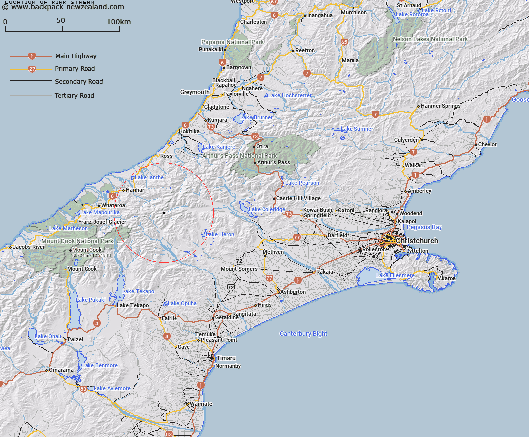
Map showing location of Kirk Stream


LINZ description: Tributary of the Rakaia River, draining from Kirk Glacier, and flowing northwards to the Rakaia River at the bottom of the Lyell Glacier. Ramsay Survey District.
Latitude: -43.314555
Longitude: 170.86401
Northing: 5202038
Easting: 1426787.3
Land District: Canterbury
Feat Type: Stream


Scroll down to see a more detailed road map and below that a topographical map showing the location of Kirk Stream. The road map has been supplied by openstreetmap and the topographical map of Kirk Stream has been supplied by Land Information New Zealand (LINZ).

Yes you can use the top static map for you school/university project or personal website with a link back. Contact me for any commercial use.

Kirk Stream Map New Zealand


New Zealand places in our database
[ A ] [ B ] [ C ] [ D ] [ E ] [ F ] [ G ] [ H ] [ I ] [ J ] [ K ] [ L ] [ M ] [ N ] [ O ] [ P ] [ Q ] [ R ] [ S ] [ T ] [ U ] [ V ] [ W ] [ X ] [ Y ] [ Z ]


Closest 20 Streams to Kirk Stream

Outlaw Creek ( 5.11km )   Mad Water ( 6.17km )   Billy McCoy Creek ( 6.23km )   Swift Water ( 6.37km )   Moses Creek ( 6.55km )   Reischek Stream ( 6.61km )   Fury Torrent ( 6.78km )   Sinclair River ( 8.91km )   McCoy Stream ( 9.02km )   Lauper Stream ( 9.03km )   Louper Stream ( 9.03km )   Lord River ( 9.26km )   Frances River ( 10.4km )   Agnes Stream ( 10.5km )   Vane Stream ( 10.75km )   Tauroa Creek ( 10.94km )   Emily Creek ( 11.44km )   Evans River ( 11.5km )   Bull Spur Stream ( 11.75km )   Caper Torrent ( 11.82km )   Devastation Creek ( 11.93km )   Pot Luck Creek ( 11.97km )   Lambert River ( 12.22km )   Argument Creek ( 12.42km )   Benighted Creek ( 12.48km )   Crevice Creek ( 12.68km )   Spar Creek ( 13.16km )   Aciphylla Creek ( 13.49km )   Shingly Stream ( 13.5km )   Jagged Stream ( 13.8km )   Rifle Torrent ( 13.81km )   Galway Creek ( 13.9km )   Smyth River ( 13.91km )   Duncan Creek ( 13.97km )   Noisy Torrent ( 14.05km )   Cattle Creek ( 14.12km )   Bradshaw Creek ( 14.14km )   Lawrence River ( 14.22km )   Frame Pack Creek ( 14.33km )   Adams River ( 14.48km )