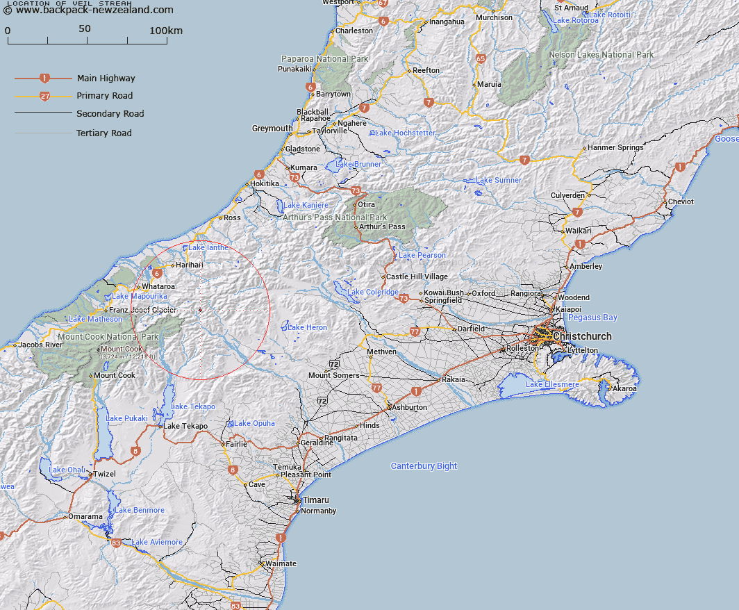
Map showing location of Veil Stream


LINZ description: In deep valley flowing from Cloudy Peak Range into Havelock River at point one and a half miles above Eric Hut. Tyndall Survey District.
Latitude: -43.386619
Longitude: 170.706313
Northing: 5193695.3
Easting: 1414218.9
Land District: Canterbury
Feat Type: Stream


Scroll down to see a more detailed road map and below that a topographical map showing the location of Veil Stream. The road map has been supplied by openstreetmap and the topographical map of Veil Stream has been supplied by Land Information New Zealand (LINZ).

Yes you can use the top static map for you school/university project or personal website with a link back. Contact me for any commercial use.

Veil Stream Map New Zealand


New Zealand places in our database
[ A ] [ B ] [ C ] [ D ] [ E ] [ F ] [ G ] [ H ] [ I ] [ J ] [ K ] [ L ] [ M ] [ N ] [ O ] [ P ] [ Q ] [ R ] [ S ] [ T ] [ U ] [ V ] [ W ] [ X ] [ Y ] [ Z ]


Closest 20 Streams to Veil Stream

Fan Stream ( 2.48km )   Havelock River ( 2.81km )   Coronation Stream ( 2.85km )   Edison Stream ( 3.34km )   Emily Creek ( 4km )   Tauroa Creek ( 4.12km )   Frances River ( 4.72km )   St Winifred Stream ( 4.99km )   Eric Stream ( 5.18km )   Argument Creek ( 5.26km )   Agnes Stream ( 5.37km )   McCoy Stream ( 6.44km )   Prospectors Creek ( 6.84km )   Tarn Creek ( 7km )   Cattle Creek ( 7.38km )   Tainui Creek ( 7.91km )   Teichelmann Creek ( 8.23km )   Bettison Stream ( 8.55km )   Forbes River ( 8.66km )   Sinclair River ( 9.19km )   Adverse Creek ( 9.21km )   Billy McCoy Creek ( 9.33km )   Murphy Stream ( 9.68km )   Julie May Stream ( 9.92km )   Johnson Keel Stream ( 10.18km )   Redfield Stream ( 10.31km )   Alpheus Creek ( 11.59km )   Elizabeth Stream ( 11.72km )   Aciphylla Creek ( 12.01km )   Scone Creek ( 12.03km )   Stoeger Stream ( 12.1km )   Cloudy Stream ( 12.12km )   Carneys Creek ( 12.56km )   Athene Creek ( 13.22km )   Clyde River ( 13.53km )   Boulderpool Creek ( 13.69km )   Five Finger Stream ( 13.75km )   Mad Water ( 13.79km )   Perverse Creek ( 13.98km )   Lawrence River ( 14.13km )